What is recorded here
Situated on a NE-facing slope. The OS Name Book (1835, Clontibret Parish, No. 143, p. 16) describes this monument as 'oblong stones set upright similar to the Cashel described in page 15' (the court-tomb: MO019-037----). 'The White Stones' are depicted on the OS Fair Plan as a semi-circle of stones with three others tangentially placed at the middle of the curve. There is now no visible evidence of archaeological features in pasture.
The above description is derived from the published 'Archaeological Inventory of County Monaghan' (Dublin: Stationery Office, 1986). In certain instances the entries have been revised and updated in the light of recent research.
Revised by: Michael Moore
Date of revision: 22 June 2018
Portal dolmen; likely Neolithic in date. Its description suggests a ceremonial or funerary function, reflecting early megalithic traditions in the region.
The monument record does not grant public access. Check the route and ask the landowner before entering private land.
- What survives
- Recorded monument
Places near here
 Crannog in MoneyvolanCrannog · 707 yd
 Fulacht fia in GrigFulacht fia · 833 yd
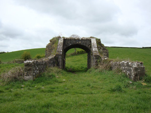 bridgebridge · 1565 yd
 Monaghan WayWalking route · 1.2 mi
 mill (water)mill (water) · 1.4 mi
 The CrescentMemorial · 2.0 mi
 John Francis GreenMemorial · 2.1 mi
 Bawn in OnomyBawn · 2.6 mi
 Blaney CastleCastle · 2.6 mi
 Harper's IslandIslet · 2.9 mi
 Garmany's IslandIslet · 3.0 mi
 Lough MucknoLake and park landscape · 3.3 mi