What is recorded here
A linear routeway (L c. 240m) described in italic lettering as 'The Togher' is shown on all OS 6-inch editions running WSW-ENE through low-lying wet marshy ground at this location (L c. 200m). Today the site is occupied by a narrow tarmacadamed road which is very susceptible to flooding during wet weather.
The above description is derived from the published 'Archaeological Inventory of County Cavan' (Dublin: Stationery Office, 1995). In certain instances the entries have been revised and updated in the light of recent research.
Date of upload: 22 December 2008
Amended: 18 March 2021
The monument record does not grant public access. Check the route and ask the landowner before entering private land.
- What survives
- Recorded monument
Places near here
 Old FortEnclosure, large enclosure · 881 yd
 Inch IslandIslet · 1128 yd
 Court tomb in GartnanoulCourt tomb · 1231 yd
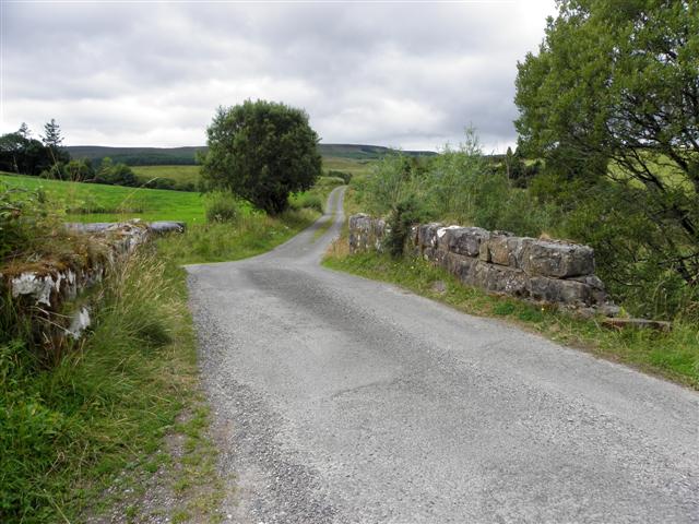 Derries UpperMountain / peak · 1285 yd
 Drumgoon Bog WoodForest · 1372 yd
 Killykeen Forest ParkForest · 1540 yd
 Woodenhouse BayBay · 1598 yd
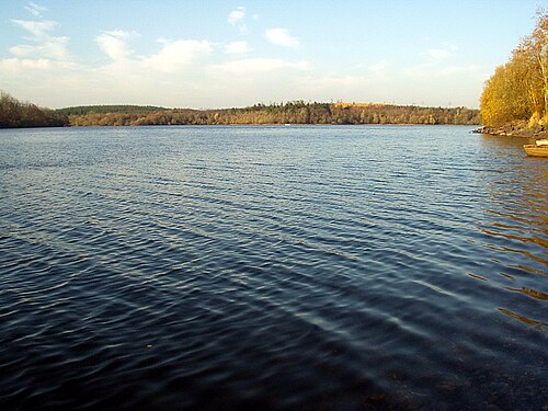 Lough OughterLake and island landscape · 1617 yd
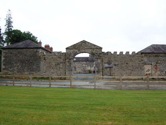 Castle Hamiltonfarmyard complex · 1.1 mi
 Pedunculate OakPedunculate Oak · 1.1 mi
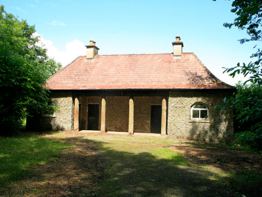 Killykeen Cottagecottage ornee · 1.2 mi
 Killeshandra Irish Countrywomen's Association 70th AnniversaryMemorial · 1.6 mi