What is recorded here
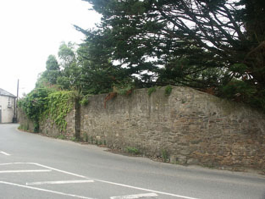
Tall curving rubble-built wall, built c.1725, enclosing the north-west boundary of the grounds of a former rectory. The wall is hard onto the road at the centre of the village of Delgany and lowers to the south end, eventually merging with a much lower wall with railings which encloses the forecourt of the house itself. The wall is largely in rubble stone, but displays evidence of once being completely rendered; a small portion to the south is finished in a roughcast render of c.1900 whilst other portions are now covered with creeping plant growth. To the south end, there is a carriage gateway with square piers and timber gate, whilst some distance to the north of this, there is a further projecting stone pier.
Tall prominent stretch of early 18th-century walling which, whilst not outstanding in its own right, adds variety to the streetscape of the small village of Delgany.
This does not grant access. Most recorded buildings are privately owned; view them only from public ground unless the owner allows entry.
Places near here
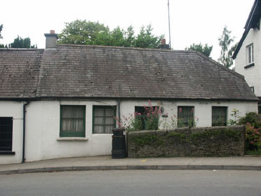 Beaumont Cottagehouse · 21 yd
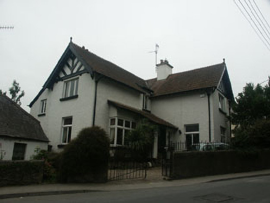 Courtloughhouse · 31 yd
 Delgany Heritage TrailWalking route · 375 yd
 TuliptreeTuliptree · 798 yd
 Enclosure in FarrankellyEnclosure · 945 yd
 Kindlestown Castle (in ruins)Castle, hall-house · 1062 yd
 Font in WoodlandsFont · 1395 yd
 Glen of the DownsNature reserve · 1.1 mi
 Greystones WayWalking route · 1.5 mi
 Greystones South BeachBeach / strand · 1.6 mi
 The CoveBeach / strand · 1.7 mi
 Rathdown Castle (in ruins)Castle, unclassified · 1.9 mi
Other information
Photo: National Inventory of Architectural Heritage · Website use allowed for educational or private purposes with source credit