What is recorded here
The Moyle Way is recorded as a visitor information in County Antrim. Its open map record supplies this location and any linked names or public references.
Places near here
 Red ArchTunnel · 955 yd
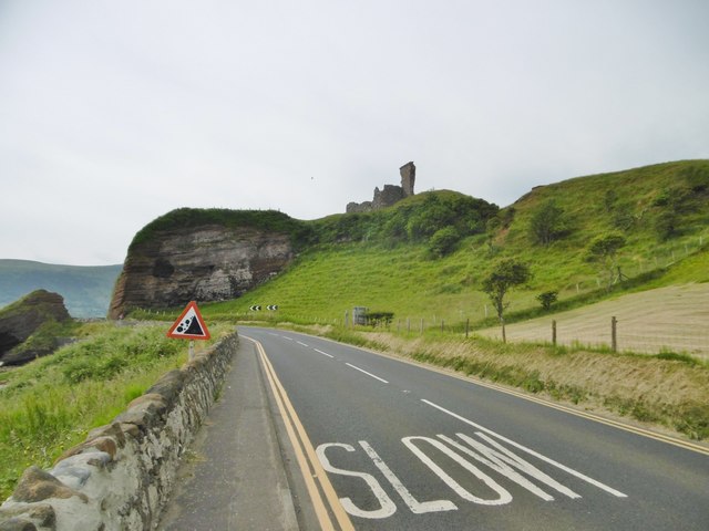 MOTTE; TWO BAILEYS; TOWER-HOUSE; CURTAIN WALL; possible site of PROMONTORY FORT: RED BAY CASTLE in Red BayMOTTE; TWO BAILEYS; TOWER-HOUSE; CURTAIN WALL; possible site of PROMONTORY FORT: RED BAY CASTLE · 993 yd
 Red Bay CastleArchaeological place · 1007 yd
 MULTIVALLATE PROMONTORY FORT: LURIGETHAN in Foriff; Knockans South & NorthMULTIVALLATE PROMONTORY FORT: LURIGETHAN · 1253 yd
 LurigethanMountain / peak · 1319 yd
 Church Of St. Patrick And St. BrigidChurch · 1642 yd
 A.P. SITEA.P. SITE, enclosure · 1642 yd
 The Glens of AntrimViewpoint · 1.5 mi
 TievebulliaghMountain / peak · 3.0 mi
 Ess-Na-Crub WaterfallWaterfall · 3.3 mi
 Ess-na-Larach WaterfallWaterfall · 3.4 mi
 The White LadyNamed rock · 3.5 mi