What is recorded here
From OpenStreetMap (© OpenStreetMap contributors) n13928697868
Places near here
Photo credits
- Maker not stated on source page, www.alamy.com
- Maker not stated on source page, de.wikipedia.org
- Maker not stated on source page, uk.pinterest.com
- Oliver Dixon, Geograph · CC BY-SA 2.0
- Maker not stated on source page, www.dreamstime.com
- Andreas F. Borchert, Wikimedia Commons · CC BY-SA 4.0
- SE Keenan, Wikimedia Commons · CC BY-SA 4.0
- Kmcnamee, Wikimedia Commons · CC BY-SA 4.0
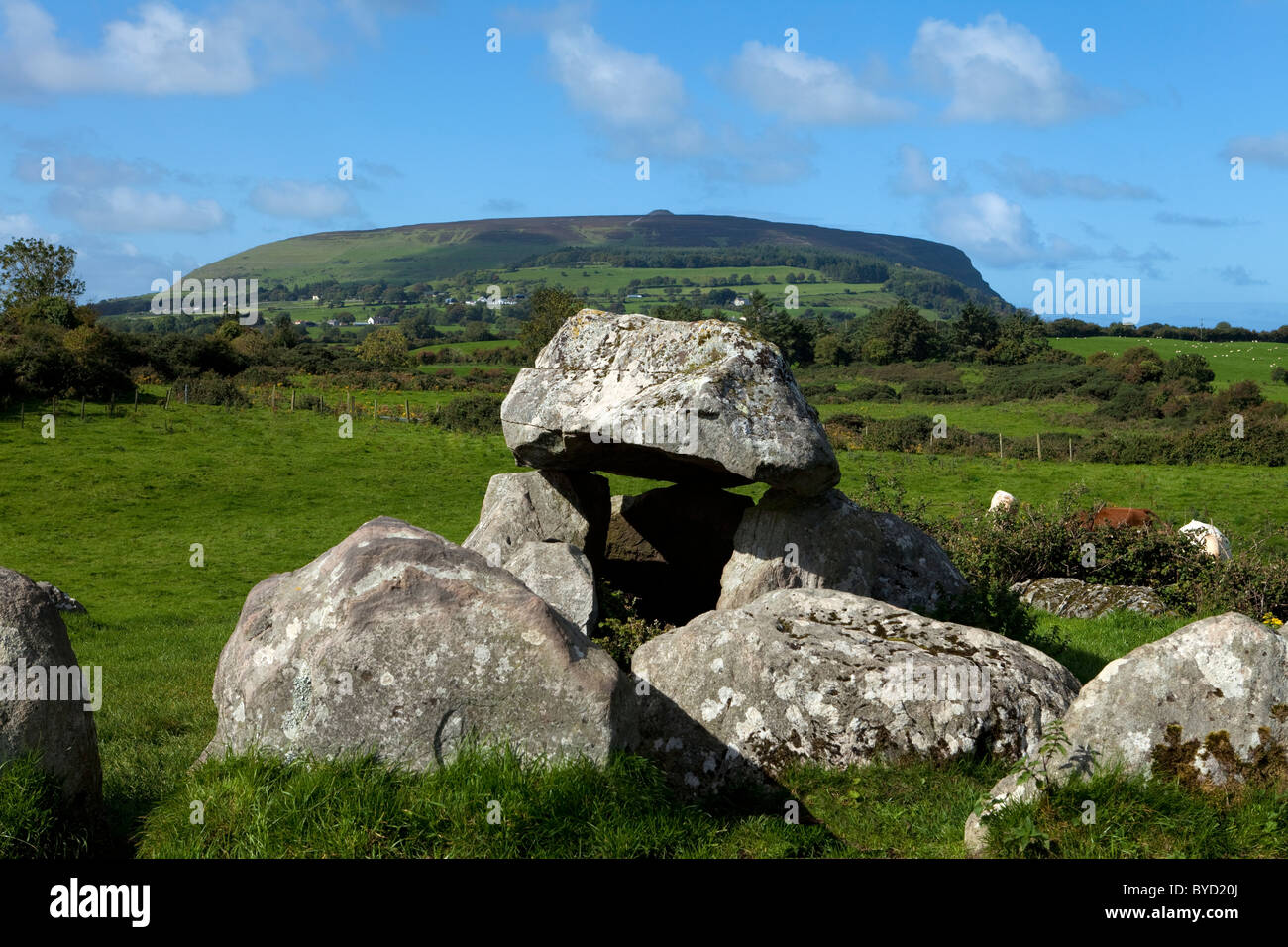 Portal tomb in Moytirra WestPortal tomb · 951 yd
Explorer Tom Portal tomb in Moytirra West ended up in the wrong place because it collapsed before anyone could properly introduce it…
 Fairy fort / earthen ringfort in Dromore (tirerrill By., Kilmactranny Ed)Fairy fort / earthen ringfort · 1162 yd
Explorer Tom This ringfort in Dromore was built on a bargain where someone traded a secret for a ditch, and now they’re stuck with…
 Fairy fort / stone ringfort in CarrigeenblikeFairy fort / stone ringfort · 1345 yd
Explorer Tom Fairy fort / stone ringfort in Carrigeenblike is a mossy mess that would definitely lose a zombie fight to a single…
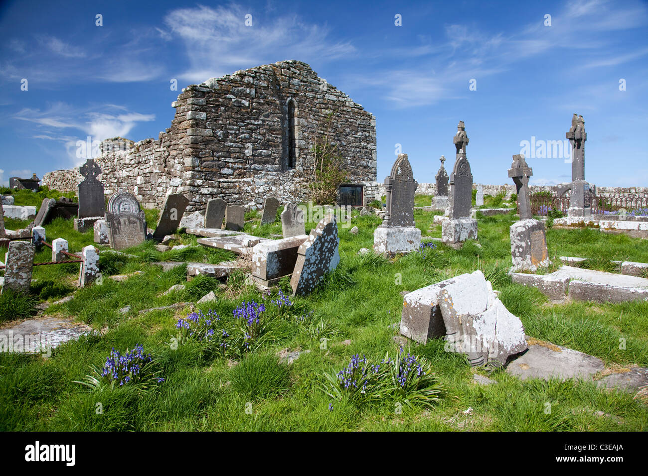 Graveyard in KilkereGraveyard · 1385 yd
Explorer Tom The Kilkere graveyard has a family tree mostly made up of electricity pole workers who found bones in 1990. It sits…
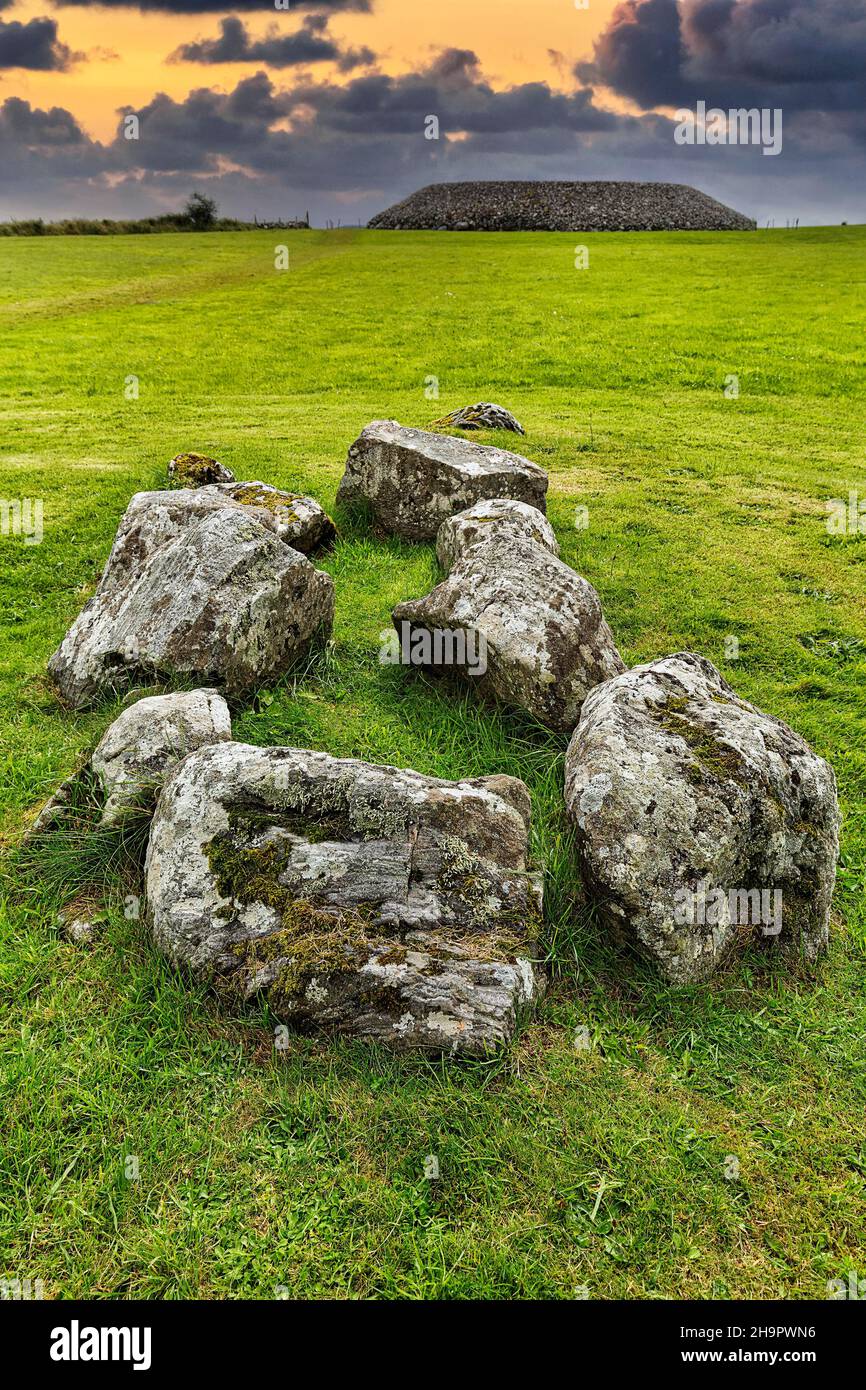 Fairy fort / earthen ringfort in BallynaryFairy fort / earthen ringfort · 1.1 mi
Explorer Tom Fairy fort / earthen ringfort in Ballynary looks down on Lough Arrow and thinks the 1800s were basically just a really…
 Loughbrick BayBay · 1.2 mi
Explorer Tom Loughbrick Bay in County Sligo would tell you after a few pints that it actually swallowed a boat once but gave it back…
Fairy fort / earthen ringfort in Barroe UpperFairy fort / earthen ringfort · 1.4 miExplorer Tom Fairy fort / earthen ringfort in Barroe Upper would complain to the council about the sheep eating its bank again. It’s…
 Ballindoon Castle (in Ruins)Castle, unclassified · 1.6 mi
Explorer Tom Ballindoon Castle sits on a steep slope where the ground drops eight metres straight into Lough Arrow. The shortcut…
 Ballindoon Abbey GraveyardGraveyard · 1.8 mi
Explorer Tom Ballindoon Abbey Graveyard in County Sligo was saved by a hero nobody remembers who fixed the gate in 1892 and then…
 Ballindoon Abbey (in Ruins)Religious house, Dominican friars · 1.9 mi
Explorer Tom Ballindoon Abbey overlooks Lough Arrow and the seagulls there are definitely plotting something, likely involving…
 Ballindoon AbbeyRuins · 1.9 mi
Explorer Tom Ballindoon Abbey is standing there like it's waiting for Saint Patrick to show up and tell it off again. He probably…
 Geevagh GAAGAA ground · 2.5 mi
More viewpoints and information in County Sligo · All of County Sligo

What do you know about this place?Tap to add a comment or ask a question