What is recorded here
Map note: The map marks The Jennies as a wood near Nerston Village, South Lanarkshire, Scotland. If the name sparks an outdoor daydream, start with the map.
From OpenStreetMap (© OpenStreetMap contributors) n7539636290
Places near here
Photo credits
- Maker not stated on source page, www.flickr.com
- Maker not stated on source page, commons.wikimedia.org
- Stephen Sweeney, Wikimedia Commons · CC BY-SA 2.0
- Gordon Brown, Wikimedia Commons · CC BY-SA 2.0
- Maker not stated on source page, www.tripadvisor.co.uk
- wrobison, Wikimedia Commons · CC BY-SA 2.0
- Maker not stated on source page, www.last.fm
- Maker not stated on source page, uk.pinterest.com
- Maker not stated on source page, bojkot.livejournal.com
- Maker not stated on source page, www.absoluteescapes.com
 Prehistoric linear earthworkArchaeological place · 603 yd
 East Kilbride, Maxwellton Road, Baptist ChurchChurch (late 20th Century) · 679 yd
 East Kilbride, NerstonNo Class (event) · 1168 yd
 NerstonLime Kiln, Well · 1195 yd
 East Kilbride, Brancumhall Road, St Leonard's Roman Catholic ChurchChurch (20th Century) · 1353 yd
 Glen Esk Urban GreenspacePark · 1478 yd
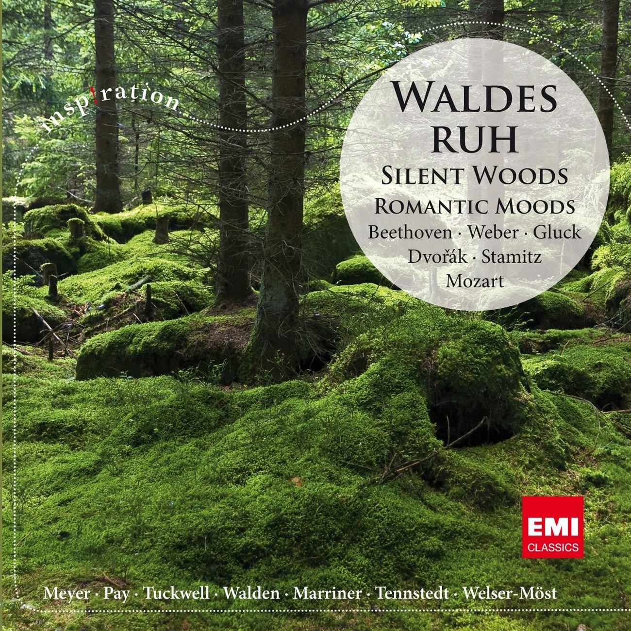 Silent Woods (fragment)Wood · 1533 yd
 East Kilbride, Calder Glen, Craigneith CastleCastle (medieval) · 1542 yd
 Craigneith CastleCastle · 1550 yd
 East Kilbride CemeteryCemetery · 1.0 mi
 Anne Kneilands Cairn MemorialMemorial · 1.0 mi
 AuchentibberWood · 1.3 mi
More woods, forests and old trees in South Lanarkshire · All of South Lanarkshire

What do you know about this place?Tap to add a comment or ask a question