What is recorded here
The Hill of Mael is recorded as a mountain / peak in County Westmeath. Its open map record supplies this location and any linked names or public references.
Places near here
 The Hill of MaelFairy fort / stone ringfort · 2 yd
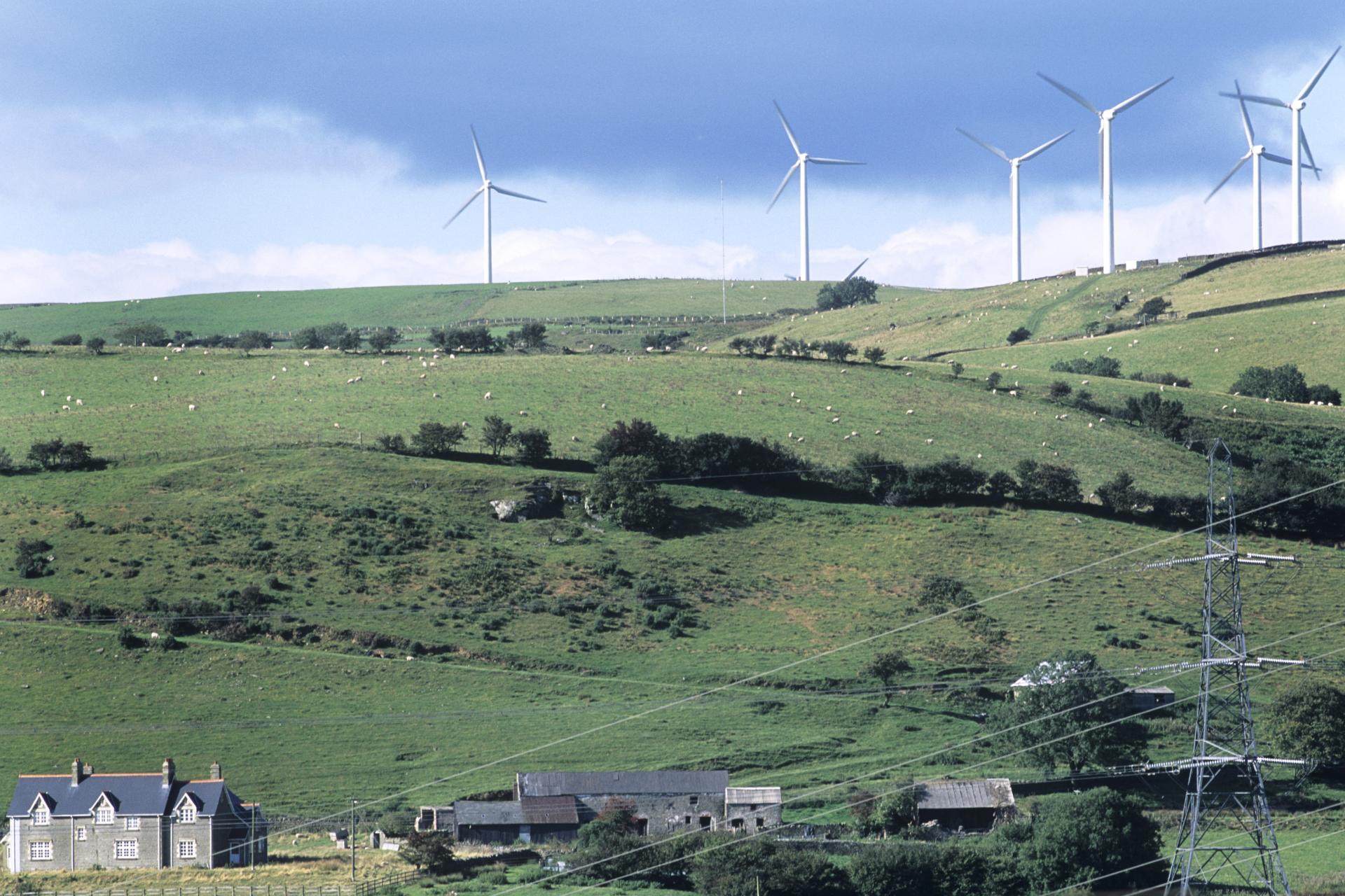 Field system in BigwoodField system · 121 yd
 Castle (in Ruins)Castle, unclassified · 1191 yd
 Rock of CurryCliff · 1212 yd
 Church (in Ruins)Church · 1.0 mi
 Ballycomoyle National Schoolschool · 1.2 mi
 Carlanstown CastleHouse, fortified house · 1.2 mi
 Mullaghmeen ForestPicnic place · 1.8 mi
 Mullaghmeen Red WalkWalking route · 1.8 mi
 Mullaghmeen White WalkWalking route · 1.8 mi
 MullaghmeenMountain / peak · 2.1 mi
 European ashEuropean ash · 2.9 mi