What is recorded here
Situated on the summit of a hill known locally as 'The Hill of Mael' with panoramic views of the surrounding countryside in all directions. Cashel (WM003-008----) standing inside a large possible trivallate hillfort (overall diam. 370m E-W) with possible prehistoric field system (WM003-008002-) running across the hill and St Brigid's holy well (WM003-008003-) located below S summit of hilltop (Adams 1957, 45). The enclosing elements of the hillfort appear to represent a mixture of natural geological features which have been scarped and an earthen bank and fosse which is best visible at E where it forms a boundary with the modern forestry plantation. A band of rock outcrop on the W side of the hilltop appears to form a natural enclosing element. The enclosing features of the hillfort appear to follow the natural contours of the hill which is defined by rock outcropping best visible on SW and W face of hill. On this side of the hilltop at least two bands of rock outcrop can be seen running around the hill from SW-W only. These bands of natural rock outcrop following the contour of the hill may have been scarped and possibly represent the enclosing elements of the hillfort which would give the monument a trivallate appearance. A ditch and bank of the outermost enclosing feature is visible from W to NW on Digital Globe aerial photograph taken November 2011. The remains of meandering drystone field walls possibly of prehistoric date radiate out from the inner enclosure at NNE and NNW. The larger outer enclosing contours of the hillfort are clearly visible on Digital Globe aerial photograph taken November 2011 and on an aerial photograph taken in 1964 (CUCAP AJO061) (http://www.cambridgeairphotos.com/location/ajo061/).
Recently described in the Atlas of Hillforts of Britain and Ireland as following; ‘Circular contour fort with a total site footprint of approximately 0.3ha positioned at the summit of The Hill of Mael with panoramic views from the summit and low-lying terrain to the W. Univallate for the entire circuit with no obvious entrance features recorded. A number of unrecorded features within the interior of the fort are visible in most aerial photographs. These comprise a central circular enclosure and two linear features leading SE from it to meet the enclosing elements of the contour fort. These are likely to be of archaeological significance and may be contemporary with the fort. The ramparts survive well throughout. The interior is under pasture. First map depiction in second edition Ordnance Survey mapping.’ (http://hillforts.arch.ox.ac.uk/records/IR1007.html)
Compiled by: Caimin O'Brien
Date of upload: 23 November 2017
The Hill of Mael is a fairy fort (ringfort/rath) likely dating to the early medieval period, situated within or near a larger possible trivallate hillfort, suggesting long-term occupation or reuse of the site. Local tradition associates the hill with the name "Mael," possibly referencing an early Christian saint or chieftain, and the site may have had both secular and ritual significance in prehistoric and medieval times.
The monument record does not grant public access. Check the route and ask the landowner before entering private land.
- What survives
- Recorded monument
Places near here
 The Hill of MaelFairy fort / stone ringfort · 42 yd
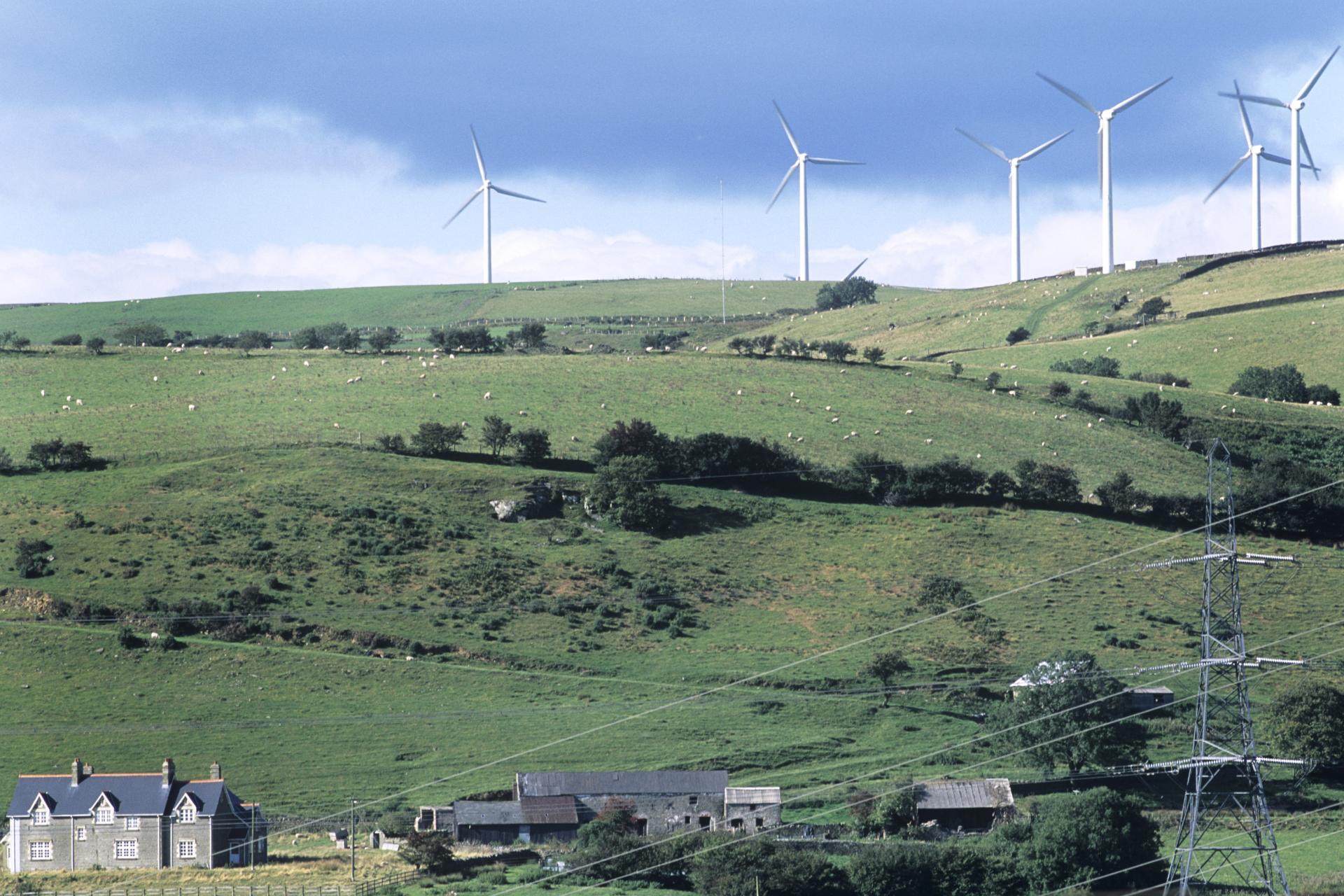 Field system in BigwoodField system · 156 yd
 Rock of CurryCliff · 1197 yd
 Castle (in Ruins)Castle, unclassified · 1231 yd
 Church (in Ruins)Church · 1.1 mi
 Ballycomoyle National Schoolschool · 1.2 mi
 Carlanstown CastleHouse, fortified house · 1.2 mi
 Mullaghmeen ForestPicnic place · 1.8 mi
 Mullaghmeen Red WalkWalking route · 1.8 mi
 Mullaghmeen White WalkWalking route · 1.8 mi
 MullaghmeenMountain / peak · 2.1 mi
 European ashEuropean ash · 2.8 mi