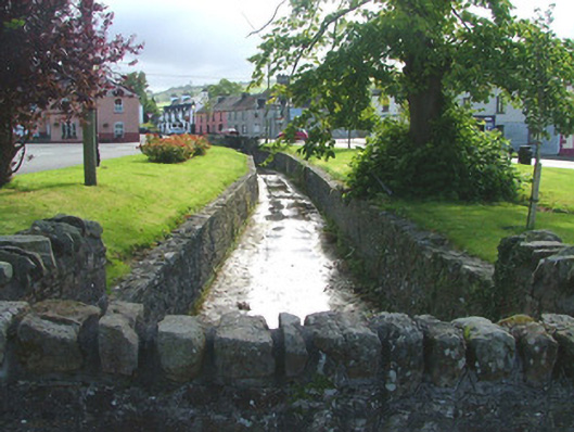
What is recorded here
Watercourse, built c.1830, runs from west to north-east. Lined with squared random course walls. Terminates at either end with coursed walls with soldier coping before entering culverts.
This watercourse houses the stream that runs through the centre of the village, providing a picturesque area marked as The Grove on historical maps. The construction of the stone walls was an endeavour to formalise the landscape of the town's central green. The result is an attractive leisure area that contributes to the built and natural heritage of the locality.
This does not grant access. Most recorded buildings are privately owned; view them only from public ground unless the owner allows entry.
Places near here
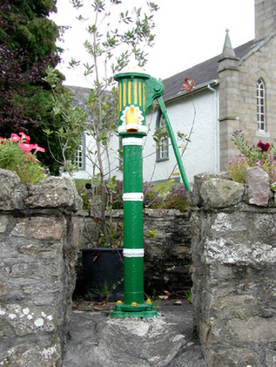 water pumpwater pump · 19 yd
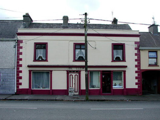 De Cleirhouse · 32 yd
 CrossCross, High cross · 151 yd
 Burial mound in LismoneyBurial mound · 1313 yd
 Waypoint 1Visitor information · 1416 yd
 Mount IvyWood · 1475 yd
 Moneyguyneen WoodWood · 1664 yd
 Slieve Bloom Mountain Bike TrailVisitor information · 1732 yd
 OutlinedCastle, motte · 1.0 mi
 Kinnitty Castle LoopWalking route · 1.3 mi
 KnocknamanMountain / peak · 1.4 mi
 CastleCastle, tower house · 1.6 mi
Other information
Photo: National Inventory of Architectural Heritage · Website use allowed for educational or private purposes with source credit