What is recorded here
Map note: Near Auchentibber, South Lanarkshire, Scotland, the map records The Fairy Well as a spring. The name sounds lively; the map shows where the water is recorded.
From OpenStreetMap (© OpenStreetMap contributors) n4988485282
Places near here
Photo credits
- Maker not stated on source page, ar.inspiredpencil.com
- Alex McGregor, Wikimedia Commons · CC BY-SA 2.0
- Maker not stated on source page, www.flickr.com
- Maker not stated on source page, www.pinterest.com
- Maker not stated on source page, uk.directmap.info
- Maker not stated on source page, www.last.fm
- wrobison, Wikimedia Commons · CC BY-SA 2.0
- Maker not stated on source page, www.tripadvisor.co.uk
- G Laird, Wikimedia Commons · CC BY-SA 2.0
- Maker not stated on source page, www.absoluteescapes.com
- Maker not stated on source page, bojkot.livejournal.com
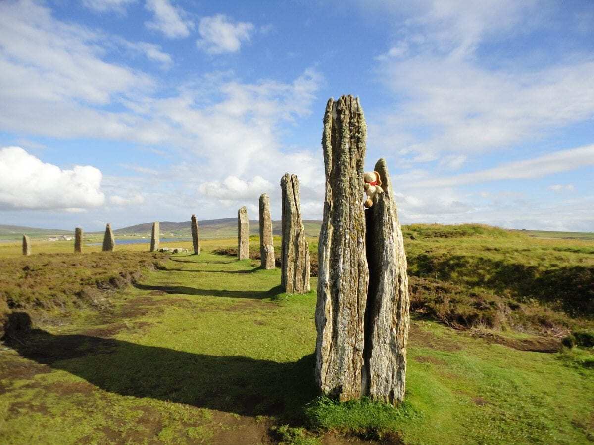 The Gray Mare (Islet)Archaeological place · 48 yd
 CalderglenFarmstead · 151 yd
 Sandy BaysBeach / strand · 389 yd
 Sandy Cove (Old Picnic Spot)Beach / strand · 456 yd
 Ancient Native Forest (Oak, Alder, Birch & Hazel)Nature reserve · 466 yd
 East Kilbride, High Common Road, Claremont Parish ChurchChurch (mid 20th Century) · 713 yd
 Silent Woods (fragment)Wood · 828 yd
 Glen Esk Urban GreenspacePark · 897 yd
 East Kilbride, Brancumhall Road, St Leonard's Roman Catholic ChurchChurch (20th Century) · 1022 yd
 Calderwood CastleTower House (medieval) · 1126 yd
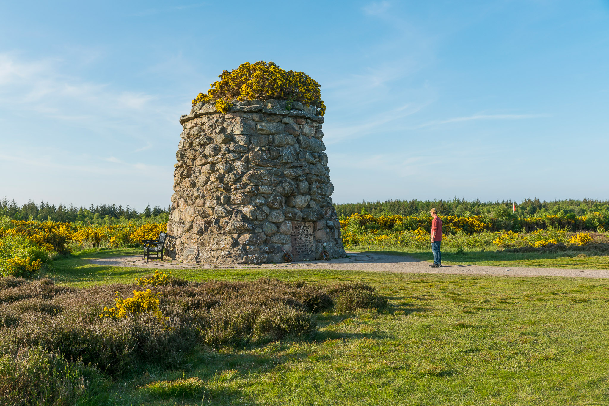 Anne Kneilands Cairn MemorialMemorial · 1161 yd
 Craigneith CastleCastle · 1245 yd
More waterfalls, wells and springs in South Lanarkshire · All of South Lanarkshire

What do you know about this place?Tap to add a comment or ask a question