
What is recorded here
On bed rock at the highest point. A subcircular area (iam. 30m N-S) defined by an earth and stone bank (Wth c. 3.5m, ext. H c. 1.75m, int. H c. 0.5m) at W and SW, elsewhere by a scarp. A shallow external fosse (Wth c. 2m) survives from SW-N. No evidence of original entrance.
The above description is derived from the published 'Archaeological Inventory of County Laois' (Dublin Stationery Office, 1995) compiled by P. David Sweetman, Olive Alcock and Bernie Moran. In certain instances the entries have been revised and updated in the light of recent research.
Date of upload: 17 December 2007
The Dun of Luggacurren is a subcircular early-medieval ringfort, likely dating to between the 5th and 10th centuries AD, situated on bedrock at a high point. While no specific folklore is recorded for this site, like many such forts in Ireland, it may have been associated with local legends of fairies or ancient inhabitants.
The monument record does not grant public access. Check the route and ask the landowner before entering private land.
- What survives
- Recorded monument
Places near here
 Enclosure in TomoclavinEnclosure · 755 yd
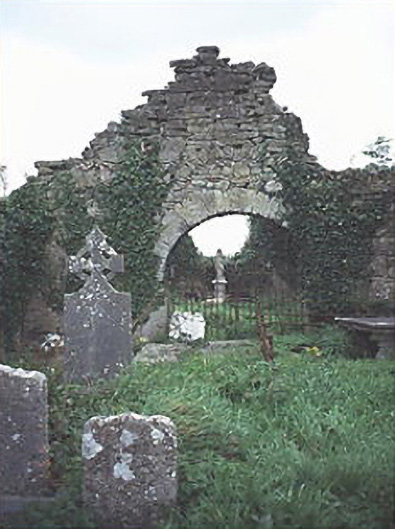 graveyard/cemeterygraveyard/cemetery · 875 yd
 IndicatedCastle, unclassified · 980 yd
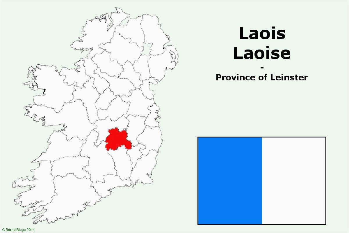 OutlinedHillfort · 1023 yd
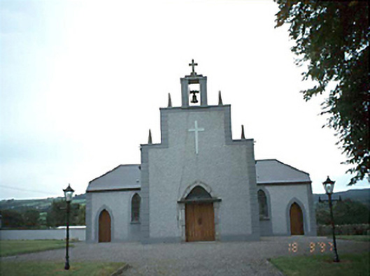 Catholic Church of the Holy Rosarychurch/chapel · 1131 yd
 Tullamoy Castle (ruins)Castle · 1.2 mi
 DM PenderMemorial · 2.5 mi
 Mass Rock WalkWalking route · 3.0 mi
 Cobbler's Castle WalkWalking route · 3.1 mi
 Timahoe Church and Round TowerVisitor information · 3.2 mi
 Mass RockNamed rock · 3.2 mi
 Oughaval Wood MapVisitor information · 3.3 mi
Other information
Photo: Credit not shown in the picture search · Rights wording not checked; contact us if this picture should be removed