What is recorded here
Depicted on the 1906 25-inch OS map as a large hilltop enclosure or hillfort (LA019-021001-) with causewayed entrance gap across rock-cut fosse at W. A second possible entrance gap is indicated at E with small rectangular building standing in this entrance gap. A small square-shaped building similar to a tower house…
Read the whole record
Depicted on the 1906 25-inch OS map as a large hilltop enclosure or hillfort (LA019-021001-) with causewayed entrance gap across rock-cut fosse at W. A second possible entrance gap is indicated at E with small rectangular building standing in this entrance gap. A small square-shaped building similar to a tower house is depicted standing in the SE quadrant of the hillfort interior. Immediately to the E of this entrance gap there is a small outer bank with entrance gap acting like a barbican or defensive earthwork protecting the entrance into the hillfort interior. Neither of these buildings are depicted on the 1838 ed. OS 6-inch map. A possible castle was situated in SE quadrant of hillfort (LA019-021001-). This possible castle was described in the History of Queen’s County, ‘as the famous Dun or Doon of Clopoke (LA019-021001-). This stood on an isolated rock, and apparently its sides were scarped, to render it nearly circular on the top. It is stated, that near the verge of the circle stood a castle in former times, and that at its foundations were two compartments; the principal chamber being 15ft. [4.5m] by 14ft. [4.2m]. The name in Irish is said to have been Dun-Cluain-Phuc, interpreted as “the fortress of the lonely spirit’. Tradition has it, that the Dun, which is ascended by a series of irregular steps, was once a strong fortress of the O’Moore’s’ (O’Hanlon and O’Leary 1907, 342). Clopook was located in the Gaelic lordship of 'Farryn O'Kalle' and in 1551 the lands of 'Powkiscastell' [Clopook] were leased to Sir John Travers (Nicholls 1994, 166). In 1569 the lands of 'Cloghpowke' [Clopook] were leased by the Crown to Francis Cosbie [Cosby] which included the rectory of Ballequillane (ibid, 175-6). In 1593 the Crown leased the lands of 'Cloghpowle' [Clopook] and the 'rectory of Ballequillan with the tithes extending to Ballequillan, Cloghpowle, Towinlevan, Nenaghe, Ballickhullen, and Curragh' to Alex Cosbie of Stradbally (ibid., 221). In 1624 the inquisition into the property of the deceased Peter Davells listed 'Cloghpooke & Ballequillen' as part of his estate (Cal. inq. post mortem, 25 Jas. I). No visible surface remains of this castle can be identified although the interior of the monument is covered in dense vegetation making examination of the interior impossible. David Sweetman, Olive Alcock and Bernie Moran.
From the National Monuments Service (Archaeological Survey of Ireland) record LA019-021004
Places near here
Photo credits
- National Inventory of Architectural Heritage
- A.-K. D., Wikimedia Commons · CC BY-SA 4.0
- Andrewmc, Wikimedia Commons · CC BY 4.0
- Graham Horn, Geograph · CC BY-SA 2.0
- Mike Searle, Geograph · CC BY-SA 2.0
- liam murphy, Geograph · CC BY-SA 2.0
- Algirdas at Lithuanian Wikipedia, Wikimedia Commons · Public domain
- Malene Thyssen, Wikimedia Commons · CC BY-SA 3.0
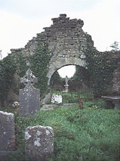 graveyard/cemetery368 yd
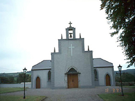 Catholic Church of the Holy RosaryChurch/chapel · 1.2 mi
 Dm PenderMemorial · 2.3 mi
.jpg/250px-St_Brigid's_Well_(30653).jpg "Photo: A.-K. D., Wikimedia Commons · CC BY-SA 4.0") OutlinedHoly well · 2.3 mi
OutlinedHoly well · 2.3 mi Grave YardGraveyard · 2.4 mi
 Oughaval Wood MapVisitor information · 2.8 mi
 Ballyadams CastleCastle · 2.8 mi
 Bawn in BallyadamsBawn · 2.8 mi
 Timahoe Church and Round TowerVisitor information · 3.0 mi
 CemeteryGraveyard · 3.1 mi
 Pedunculate Oak3.1 mi
 European Beech3.5 mi
More castles and forts in County Laois · All of County Laois

What do you know about this place?Tap to add a comment or ask a question