What is recorded here
Located on the flood-plain of the River Shannon, on the SE bank of a SW-NE section of the river. Two parallel and overgrown earthen banks extend along the bank of the river (L c. 1.2km). Towards its middle point it consists of an earth and stone bank (Wth of base 15.7m; Wth of top 3m; H at SE 1m; H at NW 1.8m) and outer fosse (Wth of top 14.3m; Wth of base 5.7m; ext. D 0.5-1m) with a slight outer bank (Wth of base 7.6m; ext. H 0.4-0.9m). A further section of double banks (RO011-058----) cuts off a loop in the River Shannon, commencing c. 370m to the NE of the NE end of this section. Archaeological montoring (09E0526) of works at the S end of the banks in Cuiltyconway also failed to recover archaeological material (Read 2013a).
Compiled by: Michael Moore
Date of upload: 30 April, 2015
The monument record does not grant public access. Check the route and ask the landowner before entering private land.
- What survives
- Recorded monument
Places near here
 Enclosure in JamestownEnclosure · 938 yd
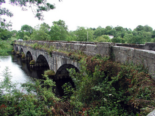 Jamestown Bridgebridge · 1153 yd
 Jamestown Housegate lodge · 1188 yd
 Fairy fort / earthen ringfort in AdereenFairy fort / earthen ringfort · 1375 yd
 Patrick Gill Memorial Plaque (IRA)Monument · 1.4 mi
 Wildlife AreaNature reserve · 1.4 mi
 Robert Strawbridge MemorialMemorial · 1.5 mi
 Site of Dangan CastleCastle, unclassified · 1.7 mi
 Moon RiverHeritage attraction · 2.8 mi
 CastlecarraCastle, unclassified · 2.8 mi
 Mullinashee WoodForest · 3.5 mi
 InishmoylinIslet · 3.9 mi