
What is recorded here
Malin Well holds a forgotten doon, a coastal fort whose earthworks vanished before modern cameras arrived. The sea likely swallowed the landward defenses, leaving only a name behind. What remains is a boundary marker for human ambition, proving even stone submits to water given enough time.
Marked 'Doon' on the OS 6-inch maps there is now no trace of the landward earthworks recorded here (Davies and Swan 1939, 206-7). It would seem likely that this was a promontory fort.
The above description was derived from the 'Archaeological Survey of County Donegal. A description of the field antiquities of the County from the Mesolithic Period to the 17th century.' Compiled by: Brian Lacey with Eamon Cody, Claire Cotter, Judy Cuppage, Noel Dunne, Vincent Hurley, Celie O'Rahilly, Paul Walsh and Seán Ó Nualláin (Lifford: Donegal County Council, 1983). In certain instances the entries have been revised and updated.
Date of upload: 22 September 2008
The monument record does not grant public access. Check the route and ask the landowner before entering private land.
- What survives
- Recorded monument
Places near here
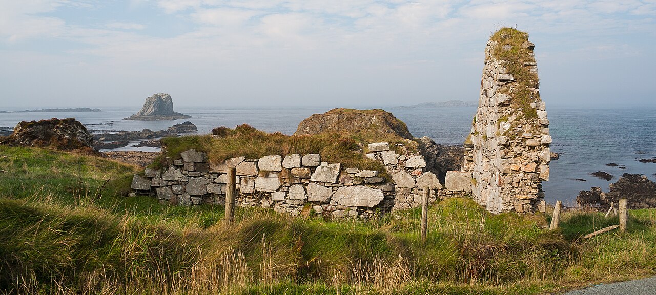 Malin Well Old ChurchChurch · 78 yd
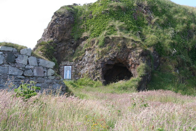 Wee House of Malin CaveCave · 91 yd
 Malin WellHoly well · 227 yd
 Malin Well Eastern Coastal Promontory FortPromontory fort, coastal · 440 yd
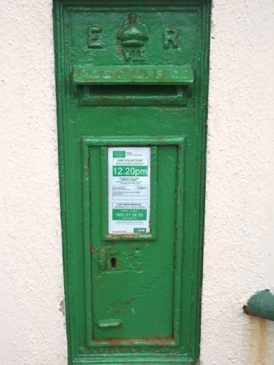 post boxpost box · 1549 yd
 Pebble StrandBeach / strand · 1.9 mi
 EIRE 80 signSecond World War neutrality sign · 2.3 mi
 Wild Atlantic Way:Malin HeadVisitor information · 2.4 mi
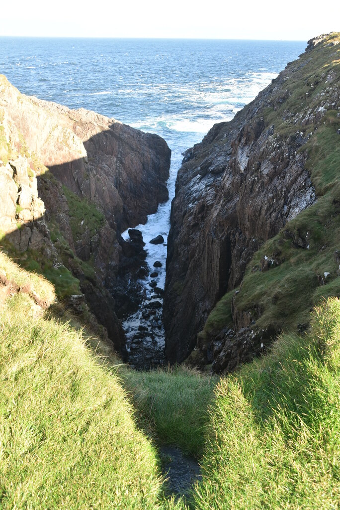 Hell's Hole Cavern, Malin HeadSea cavern and cliff chasm · 2.9 mi
 SkildrenbegIslet · 3.1 mi
 Devil's Bridge, Malin HeadNatural rock arch · 3.1 mi
 SkildrenmoreIslet · 3.2 mi
Other information
Photo: Credit not shown in the picture search · Rights wording not checked; contact us if this picture should be removed