
What is recorded here
Within a probable early ecclesiastical enclosure (GA074-011002-). All that survives are the grassed-over foundations of a possible nave and chancel church (E-W; L21.5m, Wth 7.6m). Traces of the external wall-face are visible along N side. A limited 'excavation' on the walls, reported by Connellan (1943a, 145-6), described them as being built of 'crude [stones], some big, some small' with traces of mortar, and suggested a wall width of c. 0.9m. The main body of the church is rectangular in plan (L 15.8m) with the possible chancel at E end (L 5.7m). According to local information, the stone from the church was used to build Ashford House, 250m to NW. Egan (1960, 12, 27) suggests that these are the foundations of 'a later medieval church', probably a parish church.
The above description is derived from the published 'Archaeological Inventory of County Galway Vol. II - North Galway'. Compiled by Olive Alcock, Kathy de hÓra and Paul Gosling (Dublin: Stationery Office, 1999).
Date of upload: 05 August 2010
The monument record does not grant public access. Check the route and ask the landowner before entering private land.
- What survives
- Recorded monument
Places near here
 Ashford HouseHouse, 18th/19th century · 270 yd
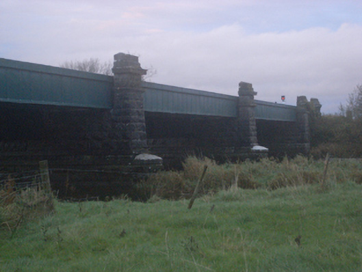 Historic buildingOfficially recorded historic building · 819 yd
 Enclosure in Ashford,rooaun (moycarn By.)Enclosure · 1245 yd
 IndicatedFairy fort / stone ringfort · 1.1 mi
 Bawn in Townparks (moycarn By. - Ballinasloe)Bawn · 1.4 mi
 West WoodWood · 2.1 mi
 Clooncoran IslandIsland · 2.3 mi
 Killure Castle (in ruins)Castle, tower house · 3.0 mi
 Ardcarn IslandsIslet · 3.5 mi
 Urraghry HillMountain / peak · 3.5 mi
 European ashEuropean ash · 4.3 mi
 Battle of Aughrim Interpretative CentreMuseum · 4.4 mi
Other information
Photo: Credit not shown in the picture search · Rights wording not checked; contact us if this picture should be removed