
What is recorded here
Poorly preserved graveyard (OF026-033001-) with no evidence of a church however the wall footings of a building are visible in the N sector of the graveyard. This building is not a church because it is orientated on a N-S axis. The earliest datable gravestone dates to 1795. No other features visible. Test excavation that was undertaken by Dominic Delany under licence no. 01E0431 on the site of a proposed new dwelling at Sranure, Co. Offaly, on 28 May 2001 revealed remains of possible ecclesiastical enclosure (OF026-033002-). The development site lies immediately east of a church site (OF026-033----) and graveyard (OF026-033001-) and there is a holy well (OF026-034----) in the field to the north.
The above description is derived from the published 'Archaeological Inventory of County Offaly' (Dublin: Stationery Office, 1997). In certain instances the entries have been revised and updated in the light of recent research.
Date of upload: 23 May 2011
The monument record does not grant public access. Check the route and ask the landowner before entering private land.
- What survives
- Recorded monument
Places near here
 Ecclesiastical enclosure in SranureEcclesiastical enclosure · 26 yd
 ToberkieranHoly well · 114 yd
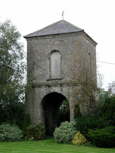 Clonygowan Housedovecote/pigeon house/aviary · 1105 yd
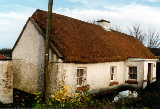 farm housefarm house · 1122 yd
 Moat of DownCastle, motte and bailey · 1751 yd
 Raheen Castle in ruinsCastle, unclassified · 1.5 mi
 Ghaugher HillMountain / peak · 1.5 mi
 The Lord's WellSpring · 2.5 mi
 Spa WellSpring · 2.8 mi
 Geashill Glebe WalkVisitor information · 3.1 mi
 Father BurbageMemorial · 3.1 mi
 Limekiln WoodWood · 3.4 mi
Other information
Photo: Credit not shown in the picture search · Rights wording not checked; contact us if this picture should be removed