What is recorded here
In gently undulating pastureland, c. 80m N of the ruins of Temple House. A well-preserved rectangular enclosure (E-W 40m, N-S 37.5m) defined by an earthen bank along W and E sides and elsewhere by a scarp. Centrally placed within the interior is a smaller almost square platform (E-W 13m, N-S 12.5m) upon which is a low flat-topped rectangular mound (E-W 5.2m, N-S 3.5m, H 1m). Though Knox (1916, 206) refers to it as being 'certainly an ancient work', its morphology, close proximity to Temple House and its absence from 1st ed. of OS 6-inch map suggest that it is a landscape feature or folly or recent date. (Knox 1918, 92)
The above description is derived from the published 'Archaeological Inventory of County Galway Vol. II - North Galway'. Compiled by Olive Alcock, Kathy de hÓra and Paul Gosling (Dublin: Stationery Office, 1999).
Date of upload: 05 August 2010
The monument record does not grant public access. Check the route and ask the landowner before entering private land.
- What survives
- Recorded monument
Places near here
 Saint Enda's National Schoolschool · 331 yd
 Enclosure in Ballyglass (tiaquin By.),sheeaun (tiaquin By.)Enclosure · 1056 yd
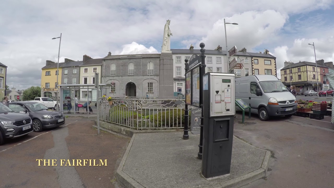 Enclosure in Gortnalone NorthEnclosure · 1224 yd
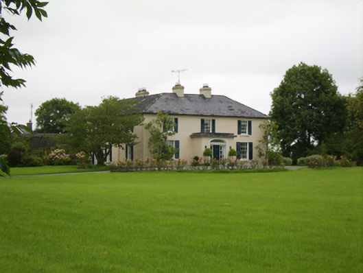 Attymon Househouse · 1.4 mi
 Tiaquin Castle (Site of)Castle, unclassified · 2.3 mi
 NewcastleCastle, unclassified · 3.2 mi
 Woodlawn WoodsForest · 4.7 mi
 European Crab AppleEuropean Crab Apple · 5.0 mi
 Menlough IRAMemorial · 5.5 mi
 Kilconnell AbbeyHeritage attraction · 8.5 mi
 Knockmoy AbbeyHeritage attraction · 8.7 mi
 Enclosure in Gortnalone SouthEnclosure · 1585 yd