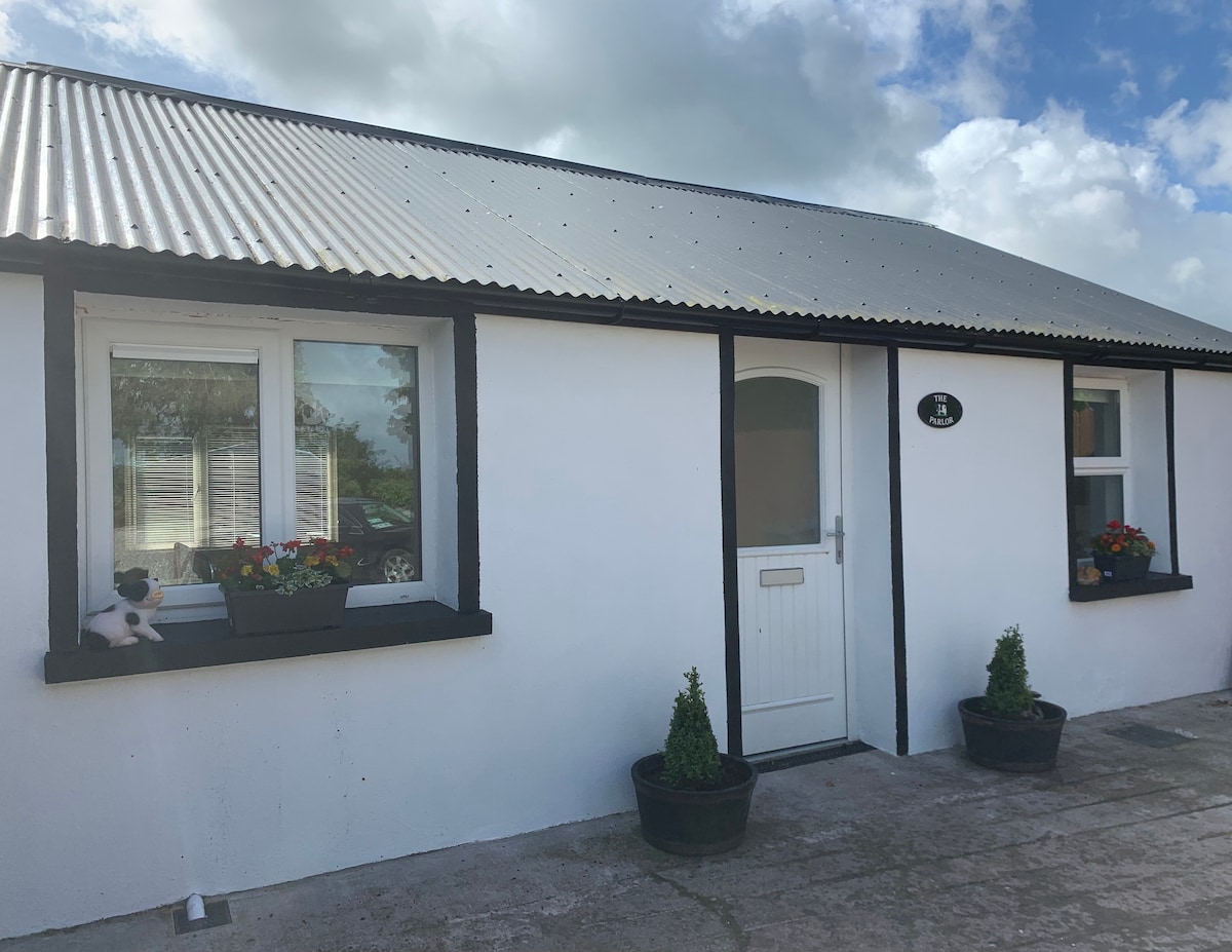
What is recorded here
Two-storey rectangular gable-ended house, early 19th-century in appearance; occupied. Rendered random-rubble construction. Entrance front (NE) of 4 bays, off-centre rectangular door ope, plate glass sash windows. Short 2-storey projection to rear. Large projecting chimney stack on NW gable, partially hidden by lower 2-storey gable-ended addition: 3-bays wide, with central rectangular door ope, iron-barred sash windows; no longer occupied. Short castellated wall extends from centre of SE gable . Long 2-storey outhouse projects to rear from junction of two structures, forming one side of yard; carved stone head with turban on SW gable, above occulus. L-shaped range of 1-storey farm buildings enclose rest of yard to rear; plaster surrounds on window and door opes; keystone over segmental archway dated '1874'. Wall in W corner, with wide stone arch and ornate pointed niches, connects two ranges of farm buildings; wall topped by ashlar bellcote. According to owner, ruined farm building to SE once used as school.
The above description is derived from the published 'Archaeological Inventory of County Cork. Volume 4: North Cork' (Dublin: Stationery Office, 2000). In certain instances the entries have been revised and updated in the light of recent research.
Date of upload/revision: 14 January 2009
The monument record does not grant public access. Check the route and ask the landowner before entering private land.
- What survives
- Recorded monument
Places near here
 Burnt mound in TeeveenyBurnt mound · 447 yd
 Castle (Site of)Castle, unclassified · 1320 yd
 Castlehill BridgeBridge · 1357 yd
 Enclosure in Ardagh (orrery and Kilmore By.)Enclosure · 1368 yd
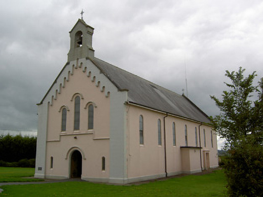 Saints Peter and Paul Churchchurch/chapel · 1.0 mi
 Liscarroll CastleCastle · 2.4 mi
 Battle of LiscarrollMajor battlefield · 2.4 mi
 Windmill HillMountain / peak · 2.9 mi
 Ballyhoura WayWalking route · 4.3 mi
 Churchtown TrailsVisitor information · 4.4 mi
 National Co-op MuseumMuseum · 5.1 mi
 Lady's WellSpring · 5.2 mi
Other information
Photo: Credit not shown in the picture search · Rights wording not checked; contact us if this picture should be removed