
What is recorded here
In a recently planted forest, at the base of a W-facing slope. A grass-covered mound (c. 22.5m N-S; c. 16m E-W; H c. 0.6m) of heat-shattered stones and charcoal-enriched soil. A drain truncates the mound at N.
The above description is derived from 'The Archaeological Inventory of County Cork. Volume 5' (Dublin: Stationery Office, 2009).
Date of upload: 22 December 2009
Burnt mound, likely dating to the Neolithic or early Bronze Age. These features are commonly associated with ritual or industrial activities, such as the preparation of hides or the heating of stones for various purposes.
The monument record does not grant public access. Check the route and ask the landowner before entering private land.
- What survives
- Recorded monument
Places near here
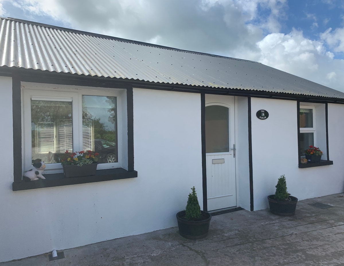 Teeveny HouseCountry house · 447 yd
 Enclosure in Ardagh (orrery and Kilmore By.)Enclosure · 1151 yd
 Castle (Site of)Castle, unclassified · 1716 yd
 Castlehill BridgeBridge · 1747 yd
 Cliff-edge fort in Ardagh (orrery and Kilmore By.)Cliff-edge fort · 1.0 mi
 Liscarroll CastleCastle · 2.1 mi
 Battle of LiscarrollMajor battlefield · 2.2 mi
 Windmill HillMountain / peak · 2.8 mi
 Ballyhoura WayWalking route · 4.2 mi
 Churchtown TrailsVisitor information · 4.2 mi
 Lady's WellSpring · 5.0 mi
 National Co-op MuseumMuseum · 5.3 mi
Other information
Photo: Credit not shown in the picture search · Rights wording not checked; contact us if this picture should be removed