What is recorded here
The 1641 Survey of Mullingar recorded the existence of ‘the tan house, lying and being from the frank garden (WM019-089027-) of the said town on the north, the river (Brosna) leading to the motte mill (WM019-089006-) on the east, the high way leading from Priorstreete (Austin Friars St.) to the churchyard (WM019-089017-) on the south, and part of Alexander Hopes land on the west’ (Andrews and Davies 1992, 15). The precise location of the tannery in the historic town of Mullingar has not been identified.
Compiled by: Caimin O'Brien
Date of upload: 01 July 2014
The monument record does not grant public access. Check the route and ask the landowner before entering private land.
- What survives
- Recorded monument
Places near here
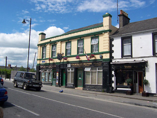 Railway Houseshop/retail outlet · 83 yd
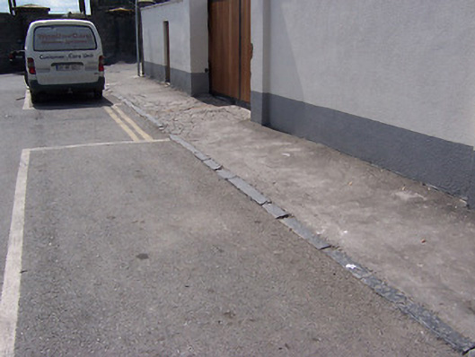 cobbles/flags/paving/kerbingcobbles/flags/paving/kerbing · 112 yd
 Famine MemorialMemorial · 331 yd
 CastleCastle, unclassified · 344 yd
 The Chimera GalleryGallery · 373 yd
 Site of CastleCastle, unclassified · 387 yd
 Mullingar Cathedral MuseumMuseum · 439 yd
 Courthouse in MullingarCourthouse · 556 yd
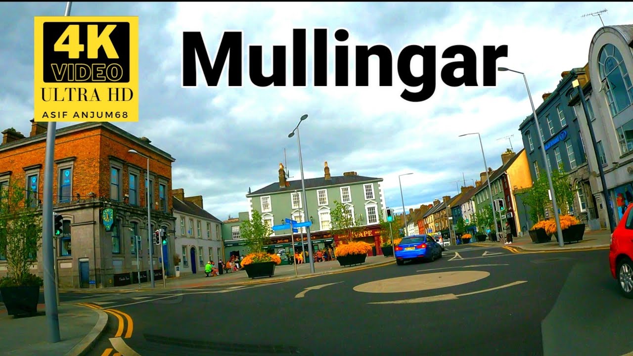 Town defences in MullingarTown defences · 724 yd
 Augustinian Monks Memorial StatueMemorial · 840 yd
 Saint Brigid's WellSpring · 1.8 mi
 Lady's IslandWood · 2.7 mi