
What is recorded here
The official Northern Ireland record identifies this as a Grade B listed building. Current recorded use: Church.
The official record and map point do not grant access. Many historic buildings are privately owned; view them only from public ground unless the owner allows entry.
Places near here
 Historic Settlement Tamlaght (Churchtown) in DrumnacanonHistoric Settlement Tamlaght (Churchtown) · 46 yd
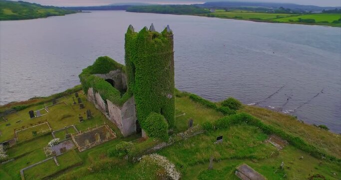 ENCLOSURE in Killymuck GlebeENCLOSURE · 1.2 mi
 Scroggy Mass RockNamed rock · 2.1 mi
 Big Gortgole ForestForest · 3.5 mi
 St. John The Baptist RC ChurchChurch · 3.5 mi
 Glenone BridgeBridge · 3.6 mi
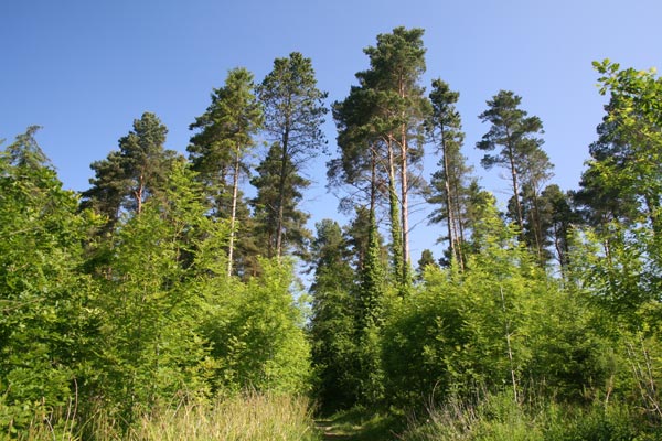 Bracknamuckley ForestWood · 3.9 mi
 CHURCH & GRAVEYARD: KILREA OLD CHURCH or KILREA O'DIAMOND in KilreaCHURCH & GRAVEYARD: KILREA OLD CHURCH or KILREA O'DIAMOND · 3.9 mi
 FORD across R. BANN & SITE OF BATTLE, 1689 (see also ANT 031:052 for opposite side of the river) in GlenoneFORD across R. BANN & SITE OF BATTLE, 1689 (see also ANT 031:052 for opposite side of the river) · 4.0 mi
 CASTLE (site of): PORTGLENONE CASTLE in GarvaghyCASTLE (site of): PORTGLENONE CASTLE · 4.4 mi
 Craigadick Picnic AreaPicnic place · 5.7 mi
 TullyMountain / peak · 6.5 mi
Other information
Photo: Kenneth Allen · CC BY-SA 2.0