
What is recorded here
An unknown church and cluster of houses stood in Drumnacanon after the medieval period, waiting for people to remember them. The name Tamlaght still points toward worship, while Churchtown suggests the building shaped the whole settlement. Whatever vanished from the soil left behind a address the area still uses.
The official Northern Ireland record identifies this as Historic Settlement Tamlaght (Churchtown). Recorded period: POST-MED. The official map point was placed at the centre of the recorded archaeological site from the source map reference.
The monument record does not grant public access. Check the route and ask the landowner before entering private land.
- What survives
- Recorded monument
Places near here
 Tamlaght O'Crilly ChurchChurch · 46 yd
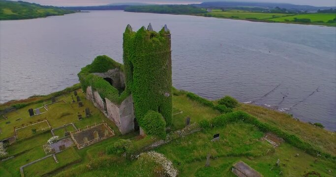 ENCLOSURE in Killymuck GlebeENCLOSURE · 1.2 mi
 ENCLOSURE (O.S. memoir site, unlocated) in DrumardENCLOSURE (O.S. memoir site, unlocated) · 1.4 mi
 Scroggy Mass RockNamed rock · 2.1 mi
 Big Gortgole ForestForest · 3.5 mi
 Glenone BridgeBridge · 3.6 mi
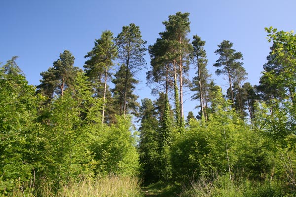 Bracknamuckley ForestWood · 3.8 mi
 CHURCH & GRAVEYARD: KILREA OLD CHURCH or KILREA O'DIAMOND in KilreaCHURCH & GRAVEYARD: KILREA OLD CHURCH or KILREA O'DIAMOND · 3.9 mi
 FORD across R. BANN & SITE OF BATTLE, 1689 (see also ANT 031:052 for opposite side of the river) in GlenoneFORD across R. BANN & SITE OF BATTLE, 1689 (see also ANT 031:052 for opposite side of the river) · 4.0 mi
 CASTLE (site of): PORTGLENONE CASTLE in GarvaghyCASTLE (site of): PORTGLENONE CASTLE · 4.4 mi
 Craigadick Picnic AreaPicnic place · 5.8 mi
 TullyMountain / peak · 6.4 mi
Other information
Photo: Credit not shown in the picture search · Rights wording not checked; contact us if this picture should be removed