What is recorded here
In an area called 'Poulgorm', the sweathouse is built into a S-facing slope with a stream c. 20m to the SW. The stream runs NW-SE into the Multeen River. A roughly circular structure (int. diam. 1.59m N-S; 1.54m E-W; int. H 1.95m; ext. H 2m; wall T 0.75m) composed of dry-stone walling with a corbelled roof which is capped by a single, large, cracked capstone. It is entered through a narrow doorway in the S (H 0.87m; Wth 0.36m). A field bank runs NW-SE from the SE quadrant.
Compiled by: Jean Farrelly
Date of upload: 26 August 2011
The monument record does not grant public access. Check the route and ask the landowner before entering private land.
- What survives
- Recorded monument
Places near here
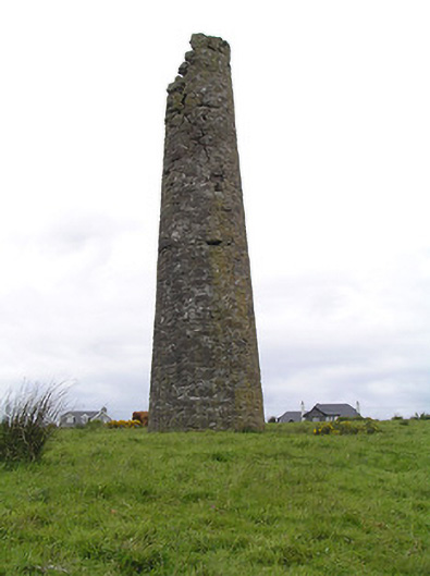 Hollyford Copper Mineschimney · 784 yd
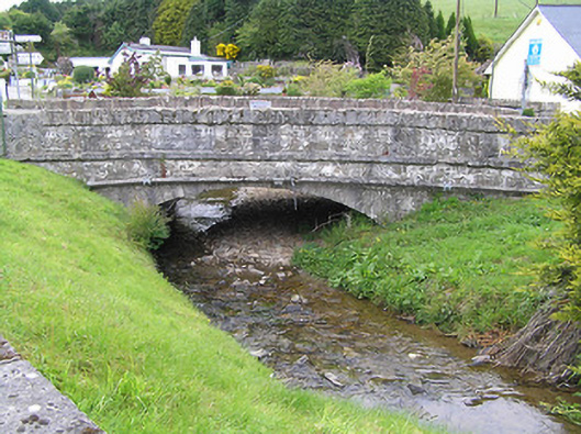 Hollyford Bridgebridge · 1393 yd
 LackenacreenaMountain / peak · 1.1 mi
 FalleennafinogaMountain / peak · 1.3 mi
 Enclosure in ReafaddaEnclosure · 1.4 mi
 Partially indicatedEnclosure · 1.7 mi
 Site of Cashlauncreen CastleCastle, tower house · 4.3 mi
 Gortard WoodForest · 4.7 mi
 Shanaclogh CastleCastle, unclassified · 4.7 mi
 Drum WoodWood · 5.1 mi
 Slieve Felim WayWalking route · 9.5 mi
 ToberagaddySpring · 11 mi