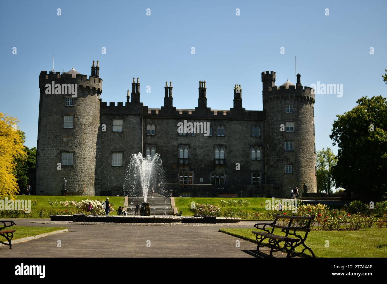
What is recorded here
At the junction of four field boundaries, two of which, to the NW and N, are also townland and parish boundaries. A roughly circular structure (ext. diam. c. 2.75m; wall T c. 0.6m; int. wall H 1.3m; overall int. H c. 1.6m), the roof of which corbels inwards towards a circular opening (c. 0.44m x 0.6m) at the apex of the roof (Cronin, Hunt and Prendergast 1991, 874-5). It is built of dry-stone construction (ibid. 875). The interior is sub-rectangular (dims. c. 1.3m x 1.5m) in plan and has a clay floor (ibid. 875-6). It was entered via a low flat-headed opening (H c. 0.5m; Wth 0.45m), the lintel being supported on the side walls (ibid. 875). It is known locally as a sweathouse (ibid. 878-9).
Compiled by: Jean Farrelly
Date of upload: 19 October 2021
A local holy well or ritual site; wider significance not recorded.
The monument record does not grant public access. Check the route and ask the landowner before entering private land.
- What survives
- Recorded monument
Places near here
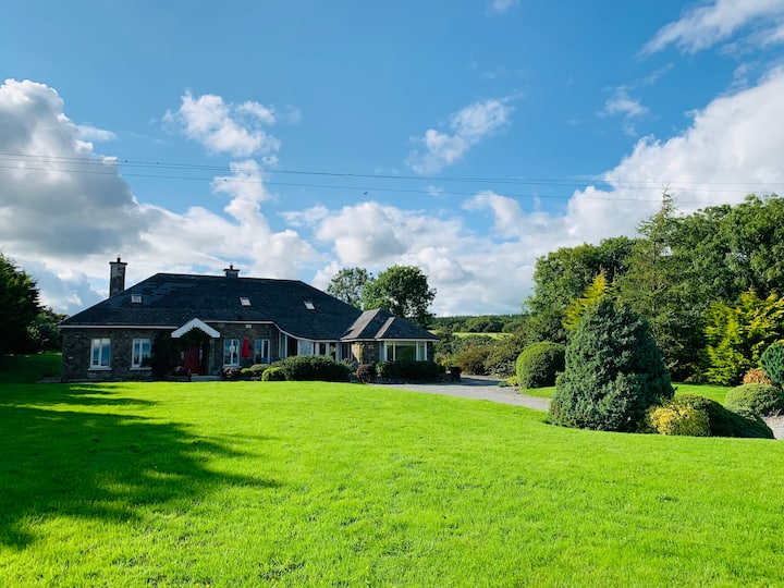 Sweat HouseArchaeological place · 11 yd
 High HillForest · 652 yd
 Enclosure in KilmanaheenEnclosure · 1156 yd
 PoplarsForest · 1752 yd
 David's Wellunknown · 1.1 mi
 barnbarn · 1.2 mi
 CastleCastle, motte · 1.3 mi
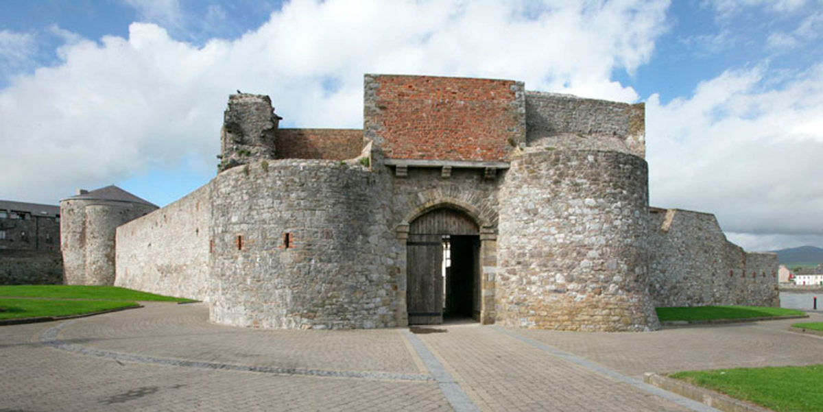 Site of Dungarvan CastleCastle, tower house · 1.4 mi
 Stroan FountainVisitor information · 1.6 mi
 Tullaherin Church and Round TowerVisitor information · 2.0 mi
 Kilbline GraveyardArchaeological place · 2.9 mi
 Time CapsuleMemorial · 4.4 mi
Other information
Photo: Credit not shown in the picture search · Rights wording not checked; contact us if this picture should be removed