
What is recorded here
Listed in both the SMR (1989) and RMP (1995) and classified 'Sweathouse'. In rough pasture, on a steep SW-facing slope. The area is densely covered with overgrowth and the sweathouse could not be located. This is likely to be post-1700 AD in date.
Compiled by: Archaeological Survey Unit, UCC
Date of upload: 10 January 2012
The monument record does not grant public access. Check the route and ask the landowner before entering private land.
- What survives
- Recorded monument
Places near here
 Saint Thomas's Church (Kilmactranny)church/chapel · 655 yd
 Church (in Ruins)Church · 678 yd
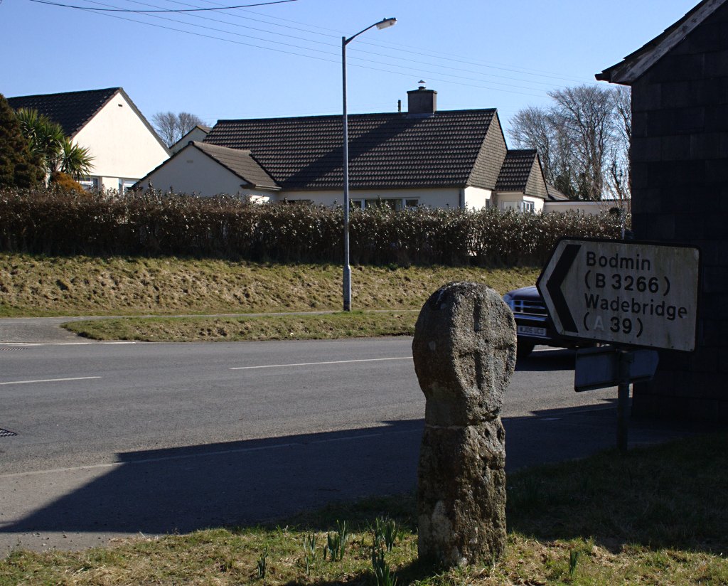 Stone CrossCross · 681 yd
 St. Kiars Ch. (Site of)Church · 690 yd
 Loughbrick BayBay · 1.7 mi
 Muck IslandIslet · 2.2 mi
 MoatCastle, motte · 2.2 mi
 Josie McDermott MemorialMemorial · 2.6 mi
 Barroe NorthMountain / peak · 2.6 mi
 Ballindoon Castle (in Ruins)Castle, unclassified · 2.6 mi
 The CopseWood · 2.7 mi
 InishmoreIslet · 2.8 mi
Other information
Photo: Credit not shown in the picture search · Rights wording not checked; contact us if this picture should be removed