
What is recorded here
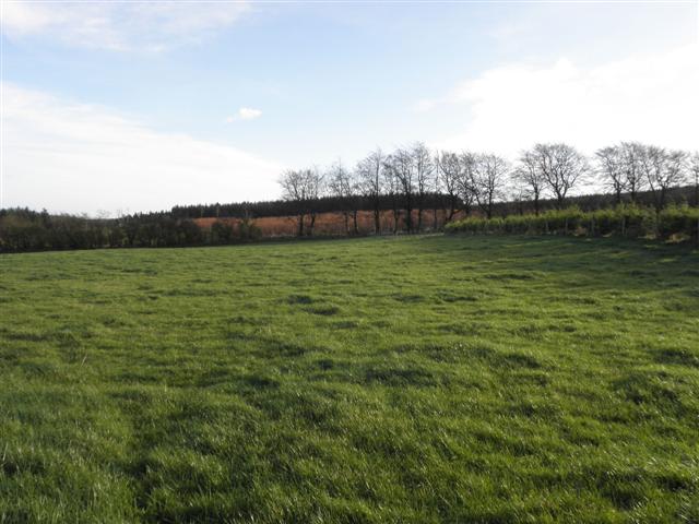
Listed in both the SMR (1989) and RMP (1995) and classified as 'Sweathouse' and 'Sweathouse Site' respectively. In poorly drained pasture, on the E-facing slope of a low rise between two farmhouses. The remains comprise the stone foundations of a circular sweathouse (int. dims. 1.6m N-S; 2m E-W; max. D 0.8m) built into the slope of a hill. According to local information, it was dismantled 'many years ago' and the stones used to make a road. It had not been used in the informant's life time but he recalled old men in his youth talking about lighting fires to heat the stones for the sweathouse. This is probably post-1700 AD in date.
Compiled by: Archaeological Survey Unit, UCC
Date of upload: 04 January 2012
A local holy well or ritual site; wider significance not recorded.
The monument record does not grant public access. Check the route and ask the landowner before entering private land.
- What survives
- Recorded monument
Places near here
 LisakyleFairy fort / earthen ringfort · 162 yd
 LisglassFairy fort / earthen ringfort · 500 yd
 Penitential station in CoollemoneenPenitential station · 896 yd
 Saint Columb's Catholic Churchchurch/chapel · 1.1 mi
 CastleCastle, motte and bailey · 1.2 mi
 Barroe NorthMountain / peak · 2.3 mi
 Geevagh Prisoners 1908 MemorialMemorial · 2.9 mi
 Ballindoon Castle (in Ruins)Castle, unclassified · 3.0 mi
 Carrane HillCliff · 3.1 mi
 Annaghgowla IslandIslet · 3.4 mi
 InishmoreIslet · 3.5 mi
 Riverstown Folk ParkHeritage attraction · 3.5 mi
Other information
Photo: Credit not shown in the picture search · Rights wording not checked; contact us if this picture should be removed