What is recorded here
Sweat Ho vanished before anyone stopped asking what it was, leaving only a coordinate on the west bank where the Altnagullion stream bends toward the Yellow River. That is not emptiness; it is a trap for memory. Throw a stone into either water and ask the drowned room to answer. If the surface remains flat, the ho has moved its address.
Situated on the W bank of the S-N Altnagullion stream c. 40m from its junction with the E-W Yellow River and c. 70m NE of an abandoned house. It is marked only on the 1907 edition of the OS 6-inch map. No feature is visible at ground level.
The above description is derived from 'The Archaeological Inventory of County Leitrim' compiled by Michael J. Moore (Dublin: Stationery Office, 2003). In certain instances the entries have been revised and updated in the light of recent research.
Date of upload: 23 September 2008
The monument record does not grant public access. Check the route and ask the landowner before entering private land.
- What survives
- Recorded monument
Places near here
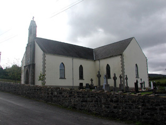 Saint Hugh's Catholic Churchchurch/chapel · 1.5 mi
 Enclosure in Greaghnafarna (drumahaire By., Yugan Ed)Enclosure · 1.6 mi
 CloghasaggartPenal Mass station · 1.7 mi
 Holy WellHoly well · 1.9 mi
 CarrignahastaCliff · 2.0 mi
 PlaygroudCliff · 2.2 mi
 Fahy RockIslet · 2.6 mi
 BencroyMountain / peak · 2.6 mi
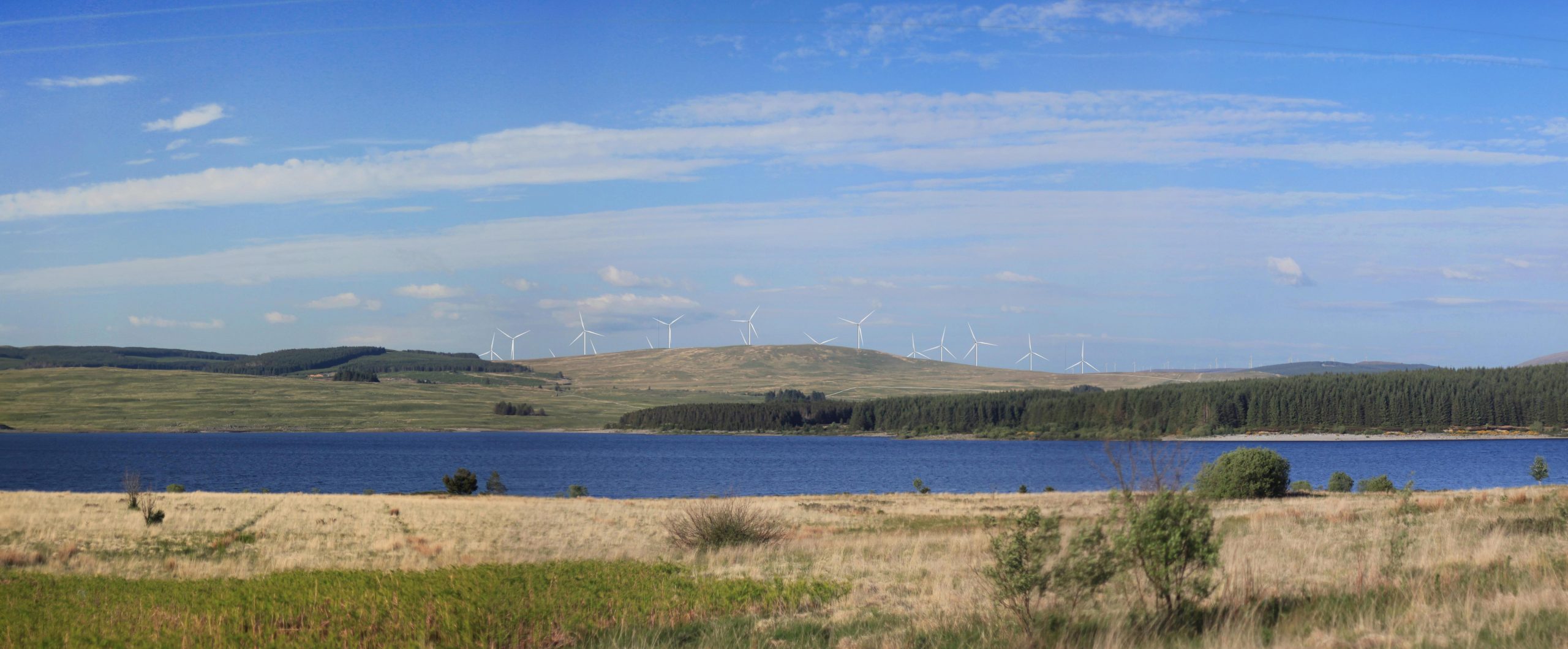 Benbrack W TopMountain / peak · 2.9 mi
 The UltachsMemorial · 3.0 mi
 Republican Garden of RemembranceMemorial · 3.3 mi
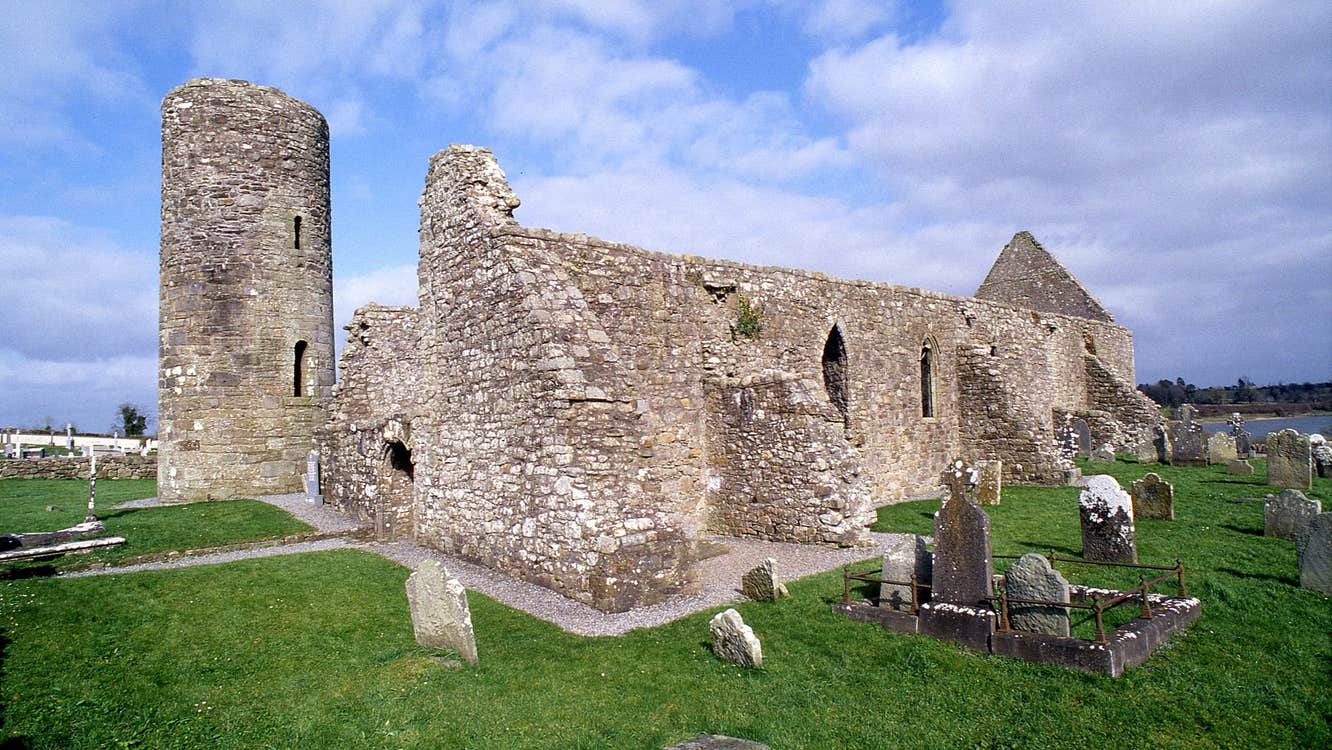 Moneensauran Cuilcagh Anierin Uplands Special Area of ConservationNature reserve · 3.3 mi
Other information
Photo: Credit not shown in the picture search · Rights wording not checked; contact us if this picture should be removed