What is recorded here
On a natural rise overlooking Cleggan Bay to the N and immediately to the SW of a roadway. Indicated and named 'Sun Dial' on the 1898 re-survey of the OS 6-inch map. No visible surface trace survives. It was probably associated with the former coastguard station located to the SW.
Compiled by: Olive Alcock
Date of upload: 30 January 2023
The monument record does not grant public access. Check the route and ask the landowner before entering private land.
- What survives
- Recorded monument
Places near here
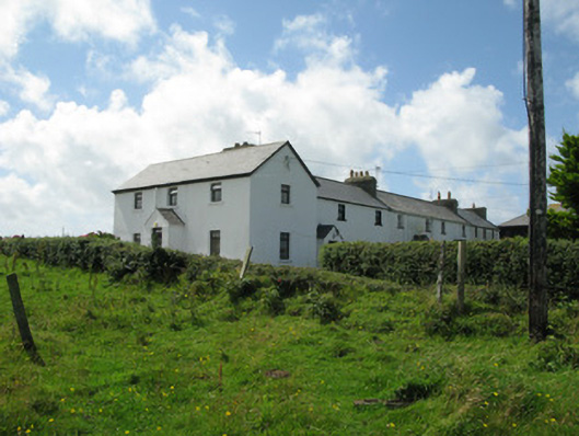 Cleggan Coastguard Stationcoastguard station · 37 yd
 Cleggan fishing disaster 28th October 1927Memorial · 568 yd
 ClegganVisitor information · 596 yd
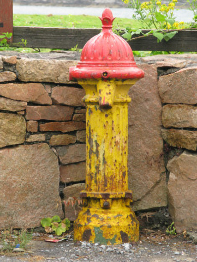 water pumpwater pump · 746 yd
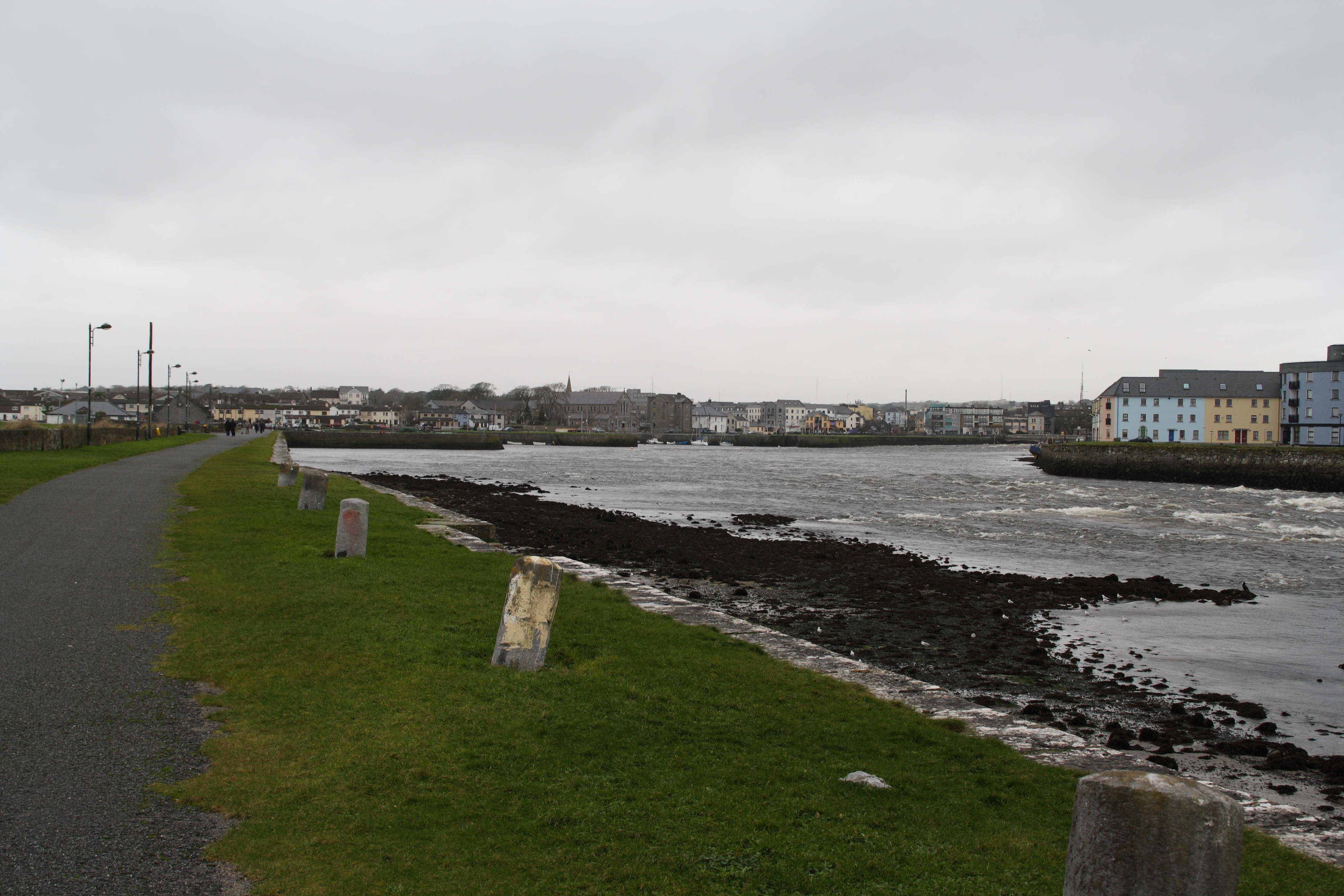 IndicatedFairy fort / stone ringfort · 1217 yd
 TobernaseachtinneanHoly well · 1.2 mi
 BallynewMountain / peak · 1.7 mi
 The StrandBeach / strand · 1.9 mi
 RoeillaunIslet · 1.9 mi
 Dog IslandIslet · 2.1 mi
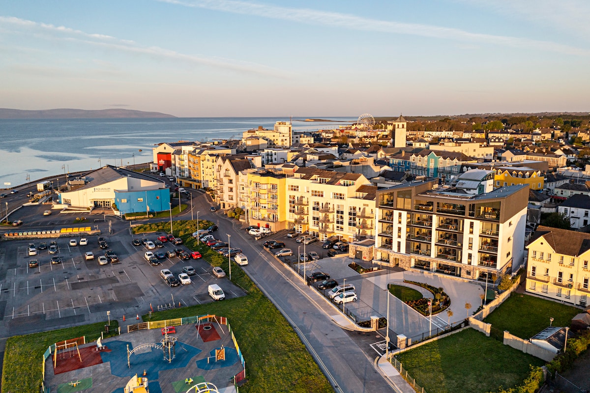 Acton BeachBeach / strand · 2.2 mi
 Bawn in Doon (ballynahinch By.)Bawn · 3.0 mi