What is recorded here
In the SW quadrant of a rath (GA116-046----). This partially collapsed Man-made underground passage (L >13) consists to two passages connected by a drop-hole creep. It appears to be T-shaped in plan. The 1st passage (L c. 4m; Wth 0.96m; H 0.99m) runs N-S. Access is gained via a breach near its N end and beyond it, to the N, the passage is filled with rubble. A linear depression (L 9m) indicates that this section to the S of the access point continued further to the S. A blocked-up drop-hole creep in the N end of this passage appears to have accessed a 2nd passage which extended to its E. Surface depressions suggest that it has collapsed.
Compiled by: Galway Archaeological Survey, UCG
Date of upload: 8 December 2017
The monument record does not grant public access. Check the route and ask the landowner before entering private land.
- What survives
- Recorded monument
Places near here
 Knockaunnageeragh Castle in ruinsCastle, unclassified · 552 yd
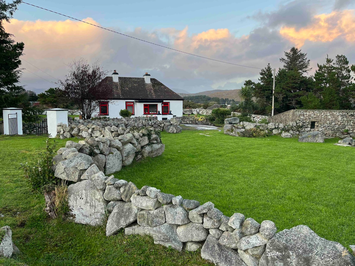 Templebanaha (in ruins)Church · 1023 yd
 Enclosure in Grange BegEnclosure · 1068 yd
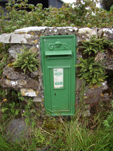 post boxpost box · 1159 yd
 Site of ToberelleenHoly well · 1539 yd
 Streamstown Castle (in ruins)Castle, unclassified · 1.1 mi
 Quarryhill WoodWood · 2.2 mi
 Bog WoodForest · 2.8 mi
 Dartfield Horse MuseumHeritage attraction · 5.3 mi
 Battle of AughrimMajor battlefield · 9.6 mi
 The bloody HollowHeritage attraction · 9.6 mi
 Battle of Aughrim Interpretative CentreMuseum · 10 mi