What is recorded here
A scatter (D 0.1m) of dried out pieces of worked wood on the peat surface. One of these was a forked roundwood (diam. 0.09m) with both branches broken and the ends degraded. This roundwood may have been sawn. Another roundwood has a degraded chisel point at its worked end. This structure may be modern.
Compiled by: Irish Archaeological Wetland Unit, UCD.
Date of upload: 24 August 2010
The monument record does not grant public access. Check the route and ask the landowner before entering private land.
- What survives
- Recorded monument
Places near here
 Ardcarn IslandsIslet · 1.1 mi
 Kilbegly WellHoly well · 1.3 mi
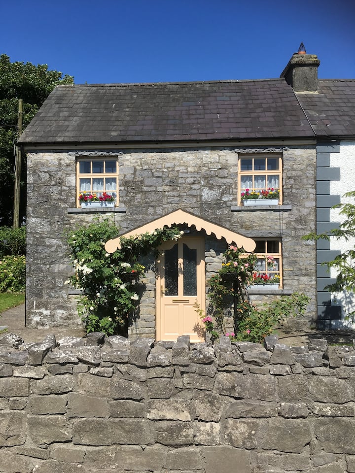 Ardcarn Ho.House, 18th/19th century · 1.4 mi
 Kilbegly ChurchChurch · 1.5 mi
 Embanked enclosureFairy fort / earthen ringfort · 2.0 mi
 Bawn in Townparks (moycarn By. - Ballinasloe)Bawn · 2.9 mi
 Tonvee CastleCastle, unclassified · 3.1 mi
 Split HillMountain / peak · 3.1 mi
 Sugarloaf HillMountain / peak · 3.9 mi
 West WoodWood · 4.5 mi
 Long IslandIsland · 4.7 mi
 Shannonbridge - Nearby AttractionsVisitor information · 4.8 mi