What is recorded here
Two lengths of heavy brushwood, each nearly three metres long, still lie tangled in Sphagnum and Eriophorum peat in County Offaly. One edge bears a toolmark, proof that human hands shaped the wood before the wet earth swallowed the larger form. The peat has rotted much of the structure away, leaving behind only these displaced rib-like fragments rather than a complete monument. What was built there may have been a bridge, a boundary marker or a forgotten domestic frame, but the land has kept the answer hidden.
Two lengths of heavy brushwood (L 2.97m; Wth 0.35m; D 0.04m). The wood is in poor condition having been partially milled and displaced. A toolmark is evident on one of the pieces. The site is in poorly to moderately humified Sphagnum peat with some Eriophorum. Recorded by the Irish Archaeological Wetland Unit (University College, Dublin) in 2001. The evidence is not sufficient to warrant its acceptance as the remains of an archaeological monument.
The original survey description was compiled by the Irish Archaeological Wetland Unit (University College, Dublin). Assessed and revised by: Caimin O'Brien, Paul Walsh
Date of upload: 23 May 2011
The monument record does not grant public access. Check the route and ask the landowner before entering private land.
- What survives
- Recorded monument
Places near here
 StructureStructure, peatland · 193 yd
 PlatformPlatform, peatland · 325 yd
 RoadRoad, class 3 togher · 443 yd
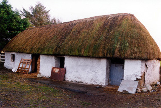 outbuildingoutbuilding · 1.2 mi
 Fort Castle (in Ruins)Bawn · 2.0 mi
 Geashill Castle (ruins)Castle · 2.2 mi
 Father BurbageMemorial · 2.2 mi
 Geashill Glebe WalkVisitor information · 2.3 mi
 Furzehill WoodWood · 2.7 mi
 Lady's WellSpring · 3.0 mi
 Children's WellSpring · 3.0 mi
 Mountlucas Wind Farm Visitors CentreVisitor information · 3.3 mi