
What is recorded here
This site is located in the industrial peatlands of Clonad Bog. It was recorded in the 2013 Re-assessment Peatland Survey as four heavy roundwood elements located in the E part of the bog, and was exposed in section in the W-facing drain face of a former stockpile field (Whitaker 2014).
The site was excavated in 2014 (licence 14E0353). A single cutting measuring 2x3.5m was opened. Two additional oak roundwoods were exposed, orientated NE-SW. All six elements were closely placed and fairly uniform in shape and size, and were moderately well preserved. Multiple faceted concave toolmarks were noted at the SE extent of two of the elements. Two overlying brushwood elements were recorded at the SW extent of the cutting. The site was overlain and underlain by moderately decomposed Sphagnum peat containing much fibrous matter.
A fragment of oak plank was chosen for dendrochronological dating and returned a result of 1064 BC ± 9 (Q11606).
Compiled by: Jane Whitaker/Femke Vleeshouwer
Date of upload: 25 February 2020
The monument record does not grant public access. Check the route and ask the landowner before entering private land.
- What survives
- Recorded monument
Places near here
 StructureStructure, peatland · 215 yd
 RoadRoad, class 3 togher · 334 yd
 Settlement desertedSettlement deserted, medieval · 1394 yd
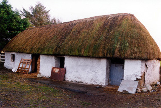 outbuildingoutbuilding · 1.4 mi
 Fort Castle (in Ruins)Bawn · 1.9 mi
 Geashill Castle (ruins)Castle · 2.3 mi
 Father BurbageMemorial · 2.4 mi
 Geashill Glebe WalkVisitor information · 2.4 mi
 Furzehill WoodWood · 2.9 mi
 Mountlucas Wind Farm Visitors CentreVisitor information · 3.1 mi
 Lady's WellSpring · 3.2 mi
 Children's WellSpring · 3.2 mi
Other information
Photo: Credit not shown in the picture search · Rights wording not checked; contact us if this picture should be removed