
What is recorded here
A deposit (L 1.65m min.; Wth 1.15m min.; D 0.15m) of brushwood, roundwoods and planks on the field surface The pieces are irregular in orientation but tend to lie in a NW-SE direction. Extensive evidence for woodworking is apparent, with a number of roundwoods having been worked at both ends. One plank is charred on one face. Some of the wood has been damaged by milling but the remainder is in good condition. The site is located in well-humified Sphagnum peat with some Eriophorum and ericaceous remains. Recorded by the Irish Archaeological Wetland Unit (University College, Dublin) in 1993. The evidence is not sufficient to warrant its acceptance as the remains of an archaeological monument.
The original survey description was compiled by the Irish Archaeological Wetland Unit (University College, Dublin). Assessed and revised by: Caimin O'Brien, Paul Walsh
Date of upload: 23 May 2011
The monument record does not grant public access. Check the route and ask the landowner before entering private land.
- What survives
- Recorded monument
Places near here
 RoadRoad, class 3 togher · 182 yd
 StructureStructure, peatland · 305 yd
 PlatformPlatform, peatland · 619 yd
 Castle ArmstrongHouse, fortified house · 1126 yd
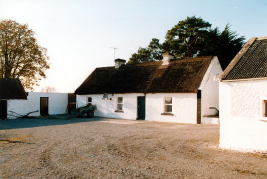 farm housefarm house · 1564 yd
 Lemanaghan CastleCastle, tower house · 1.3 mi
 European ashEuropean ash · 1.3 mi
 Inchaloon IslandIslet · 3.1 mi
 Cocta HillMountain / peak · 3.3 mi
 Saint Reaghan's WellSpring · 4.1 mi
 Ballylin Bog BoardwalkHeritage attraction · 4.4 mi
 Endrim HillMountain / peak · 4.6 mi
Other information
Photo: Credit not shown in the picture search · Rights wording not checked; contact us if this picture should be removed