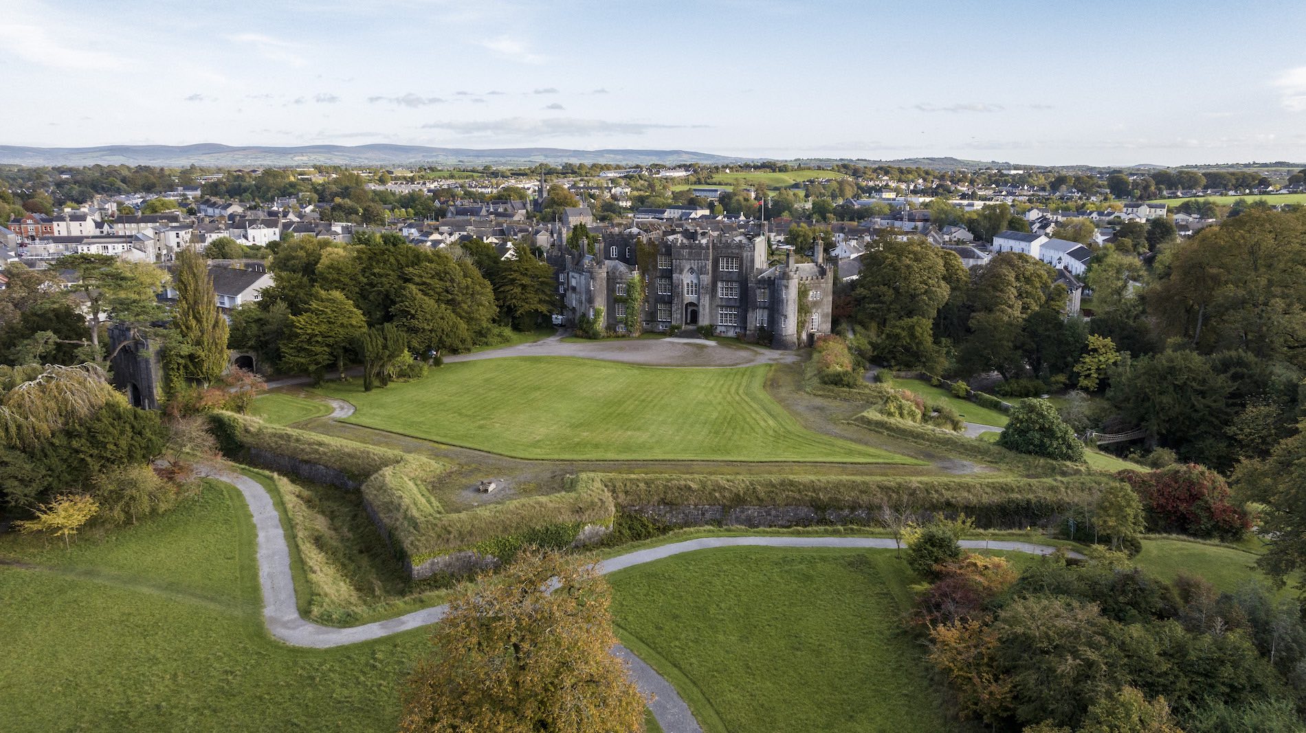
What is recorded here
The site consisted of three degraded roundwoods (L 0.9m; Wth 0.5m; D 0.06m) laid horizontally but irregularly on the field surface, with no clear orientation. The wood was in very poor condition with no evidence of woodworking. The wood was located in raised bog above a horizon of moderately humified peat with frequent Sphagnum and occasional ericaceous remains and Phragmites. This material is located 5m S of SMR OF007-194----. Recorded by the Irish Archaeological Wetland Unit (University College, Dublin) in 1997. The evidence is not sufficient to warrant its acceptance as the remains of an archaeological monument.
The original survey description was compiled by the Irish Archaeological Wetland Unit (University College, Dublin). Assessed and revised by: Caimin O'Brien, Paul Walsh
Date of upload: 23 May 2011
The monument record does not grant public access. Check the route and ask the landowner before entering private land.
- What survives
- Recorded monument
Places near here
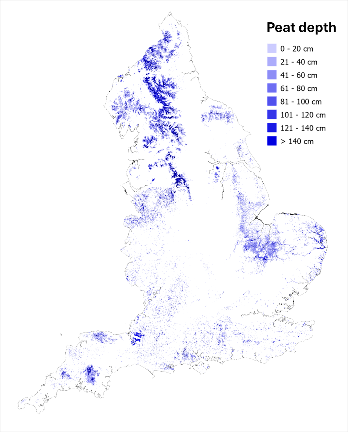 StructureStructure, peatland · 430 yd
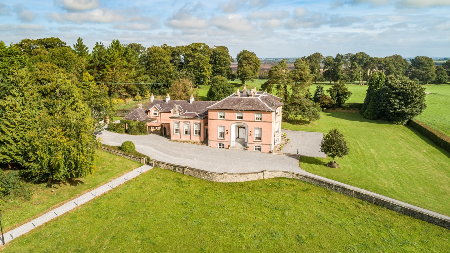 Bellair Housecountry house · 732 yd
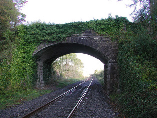 Moorock Bridgebridge · 1241 yd
 Crannog in SpringparkCrannog · 1340 yd
 Castle ArmstrongHouse, fortified house · 1.6 mi
 Inchaloon IslandIslet · 2.3 mi
 Kilnagarnagh Old Ho.Castle, unclassified · 3.2 mi
 Moate HillMountain / peak · 3.6 mi
 The Bob Traynor GalleryGallery · 3.7 mi
 Charles BianconiMemorial · 3.7 mi
 Dún na SíMuseum · 4.1 mi
 European ashEuropean ash · 5.0 mi
Other information
Photo: Credit not shown in the picture search · Rights wording not checked; contact us if this picture should be removed