
What is recorded here
Ten pieces of mixed brushwood with twigs and a roundwood on the field surface (L 1.33m min.; Wth 2.14m; D 0.091m). The majority of the brushwood is orientated NW-SE with the roundwood and a single piece of brushwood running perpendicular to these. Although fragmentary, the wood is in good condition with a metal-cut toolmark present. It lies in well-humified Sphagnum peat with a large amount of Eriophorum. Recorded by the Irish Archaeological Wetland Unit (University College, Dublin) in 2002. The evidence is not sufficient to warrant its acceptance as the remains of an archaeological monument.
The original survey description was compiled by the Irish Archaeological Wetland Unit (University College, Dublin). Assessed and revised by: Caimin O'Brien, Paul Walsh
Date of upload: 23 May 2011
The monument record does not grant public access. Check the route and ask the landowner before entering private land.
- What survives
- Recorded monument
Places near here
 StructureStructure, peatland · 153 yd
 RoadRoad, class 3 togher · 311 yd
 OutlinedFairy fort / earthen ringfort · 1219 yd
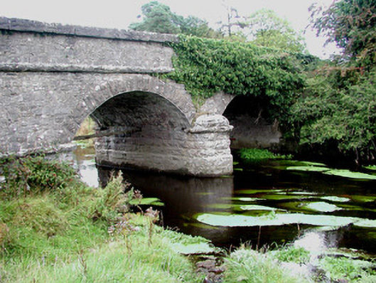 Kilcumber Bridgebridge · 1391 yd
 Site of CastleCastle, unclassified · 1.1 mi
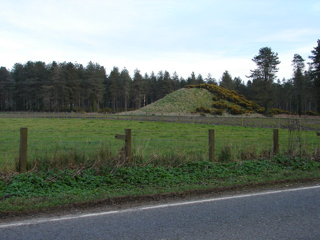 MoteCastle, motte and bailey · 2.3 mi
 Sli na Slainte - mapVisitor information · 2.7 mi
 Allen family memorial headstoneMemorial · 4.1 mi
 Mountlucas Wind Farm Visitors CentreVisitor information · 5.2 mi
 Victoria PlantationWood · 5.4 mi
 Killinthomas Wood (Rathangan)Wood · 5.5 mi
 Clonin EarthworksMountain / peak · 6.0 mi
Other information
Photo: Credit not shown in the picture search · Rights wording not checked; contact us if this picture should be removed