
What is recorded here
Thirty wooden rods cluster at one end, ten at the other, buried in Offaly peat. They may have marked a boundary, supported a rope or belonged to a cart that broke in the rain. Machinery has since torn through the deposit, pulling some rods into the light and leaving hollow ghosts behind. What remains is a scattered sentence without a verb, waiting for someone to imagine the missing words.
A sparse deposit of brushwood (L 5.23m; Wth 2.6m; D 0.06m). The brushwood (diam. 0.012-0.058m) is irregularly laid and widely spaced. There are approximately thirty pieces located at its E end and approximately ten pieces at its W end with no woodworking evident. Some of the brushwood has been partially damaged by machinery and in places there are cavities within the peat where pieces of brushwood have been removed by milling. The site lies in moderately humified Sphagnum peat. SMR OF019-043----, lies c. 50m to the E. Recorded by the Irish Archaeological Wetland Unit (University College, Dublin) in 2002. The evidence is not sufficient to warrant its acceptance as the remains of an archaeological monument.
The original survey description was compiled by the Irish Archaeological Wetland Unit (University College, Dublin). Assessed and revised by: Caimin O'Brien, Paul Walsh
Date of upload: 23 May 2011
The monument record does not grant public access. Check the route and ask the landowner before entering private land.
- What survives
- Recorded monument
Places near here
 StructureStructure, peatland · 344 yd
 RoadRoad, class 2 togher · 413 yd
 OutlinedFairy fort / earthen ringfort · 958 yd
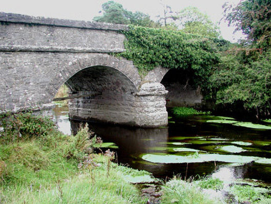 Kilcumber Bridgebridge · 1461 yd
 Site of CastleCastle, unclassified · 1.1 mi
 Sli na Slainte - mapVisitor information · 2.8 mi
 Site of MonasteryCastle, unclassified · 3.3 mi
 Allen family memorial headstoneMemorial · 4.3 mi
 Victoria PlantationWood · 5.4 mi
 Killinthomas Wood (Rathangan)Wood · 5.5 mi
 Clonin EarthworksMountain / peak · 6.0 mi
 The Fairy BowerHeritage attraction · 6.2 mi
Other information
Photo: Credit not shown in the picture search · Rights wording not checked; contact us if this picture should be removed