
What is recorded here
The site (L 15.23m min.; Wth 1.825m; D 0.26m) orientated N-S andis predominantly comprised of brushwood (diam. 0.014-0.054m) with some roundwoods (diam. 0.063-0.103m) densely packed up to three pieces deep. Most of the wood is laid longitudinally with a small number of overlying transverses. Toward the edges of the structure the heavier elements predominate, with the most substantial roundwoods and brushwood bolstering the E edge. A single peg set at 80° is evident in one location. The site lies in poorly humified Sphagnum peat. Radiocarbon dated to 2116-1745 cal. BC (Wk-11726).
Compiled by: Irish Archaeological Wetland Unit (University College Dublin).
Date of upload: 23 May 2011
The monument record does not grant public access. Check the route and ask the landowner before entering private land.
- What survives
- Recorded monument
Places near here
 StructureStructure, peatland · 132 yd
 RoadRoad, class 3 togher · 227 yd
 OutlinedFairy fort / earthen ringfort · 1318 yd
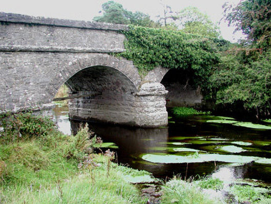 Kilcumber Bridgebridge · 1322 yd
 Site of CastleCastle, unclassified · 1.1 mi
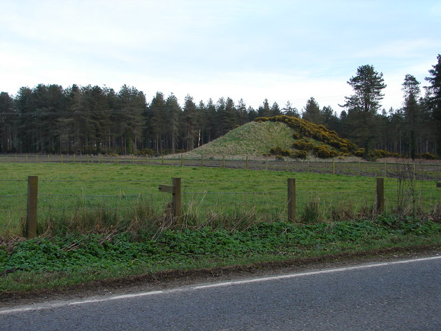 MoteCastle, motte and bailey · 2.4 mi
 Sli na Slainte - mapVisitor information · 2.6 mi
 Allen family memorial headstoneMemorial · 4.1 mi
 Mountlucas Wind Farm Visitors CentreVisitor information · 5.2 mi
 Victoria PlantationWood · 5.4 mi
 Killinthomas Wood (Rathangan)Wood · 5.5 mi
 Clonin EarthworksMountain / peak · 6.0 mi
Other information
Photo: Credit not shown in the picture search · Rights wording not checked; contact us if this picture should be removed