What is recorded here
In rough, heather-covered upland bog, located on the lower SW-facing slope of a high ridge in NW of Achill Island. Ground rises steeply to NE, and falls away gradually to SE, levelling out to an area of worked bog.
This structure (L 7.5m; H 0.3-0.6m) consists of a low, trapezoidal cairn of stones, which narrows from a broad façade (Wth 5.3m) at the S end, to a markedly narrow N end (1.5m). It is engulfed in heather, sod and clumps of sedge, which make it difficult to interpret the remains and their relationship to a hut site (MA042-048002-), which stands immediately adjacent at SW.
The broad, low S façade is defined by drystone walling (H 0.6m), rising in two to three courses, and also incorporates at least one upright stone (L 1.1m; T 0.1m; H 0.5m). The W side is defined by what may be a double wall construction, with an outer wall of contiguous, upright stones/boulders (largest measures: L0.9m; T 0.1-0.15m; H 0.7m) facing an inner wall of drystone construction and/or uprights. At the narrow N end, a single upright end stone and two side stones (H c. 0.3m) appear to enclose a small chamber or box-like setting (c. 1.5m E−W; c. 0.9m N−S). Stones can be felt beneath the heather on the E side, but upstanding walling is not evident, except at the junction with the S wall. In the interior area, amidst a low jumble of heather-covered stones, there is a hint of a roughly central, narrow ‘passage’ or break extending N−S, with a prostrate slab partly overlying the S end. Appended to the SW corner of the structure is a D-shaped hut site (MA042-048002-) (c. 3m N−S; c. 3m E−W) of rough drystone construction, with a narrow entrance gap on the E side. The hut appears to post-date the trapezoidal structure, and may have been built with stones robbed from it. It is unclear to what extent the walling on the S and W sides of the structure has been modified by the builders of the hut, and to what purpose. The nature, function and date of this structure remain enigmatic.
Images:
MA042-048001_01.jpg: Structure viewed from SE, with hut site (MA042-048002-) at Left
MA042-048001_02.jpg: N end of structure and walling on W side, viewed from NW
Compiled by: Jane O'Shaughnessy
Date of upload: 24 July 2017
The monument record does not grant public access. Check the route and ask the landowner before entering private land.
- What survives
- Recorded monument
Places near here
 Enclosure in SlievemoreEnclosure · 198 yd
 Annagh StrandBeach / strand · 1372 yd
 Achill Folklife CentreMuseum · 1685 yd
 Don AllumMonument · 1700 yd
 Saddle Hill Signal Towersignal tower · 1713 yd
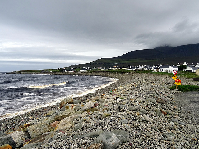 Dooagh StrandBeach / strand · 1.0 mi
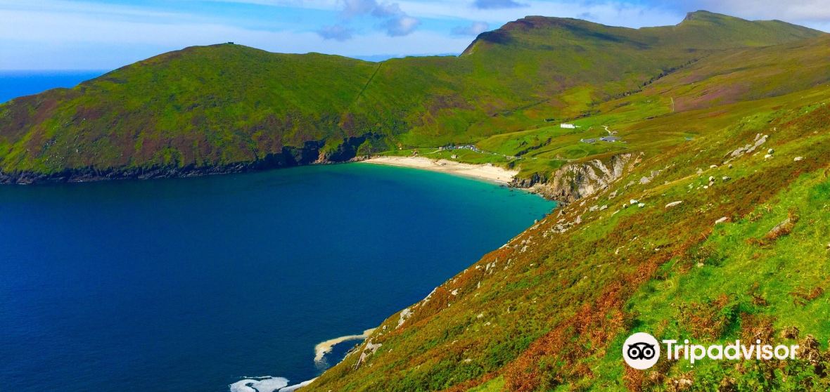 Gubnahinneora PointHeadland · 1.5 mi
 Convent of the Sacred Heartconvent/nunnery · 1.6 mi
 Ronan Halpin GalleryGallery · 1.7 mi
 GubnahooeycamHeadland · 2.0 mi
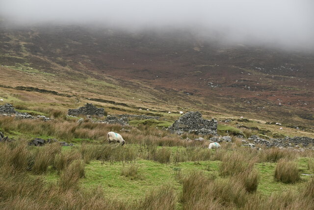 The Deserted Village at SlievemoreVisitor information · 2.2 mi
 InishgalloonIslet · 2.4 mi