What is recorded here
In undulating pasture on slight NW-facing slope. Not marked on any edition of the OS 6-inch map. Recorded in 1991 as a- boat-shaped structure (L 9.20m; max. Wth 5m) defined by narrow stone footings and oriented NW-SE. There was no indication of an entrance (SMR file) . There is no trace of the feature described above visible at ground level. The very low profile remains of ridge and furrow lie in a NW-SE orientation across the area.
This remains an important historical record, but the official description says the monument is no longer visible or has been destroyed. The monument record does not grant public access. Check the route and ask the landowner before entering private land.
- What survives
- No visible remains or recorded as destroyed
Places near here
 Enclosure in MoneygoldEnclosure · 98 yd
 Penitential station in MoneygoldPenitential station · 570 yd
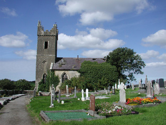 Ahamlish Churchchurch/chapel · 664 yd
 Cross in MoneygoldCross · 682 yd
 InishnagorIslet · 1035 yd
 Connors IslandIsland · 1083 yd
 CastleCastle, unclassified · 1.0 mi
 Atlantic SheepdogsHeritage attraction · 1.6 mi
 Streedagh BeachVisitor information · 1.7 mi
 de Cuellar Armada MonumentMemorial · 2.0 mi
 Trawalua StrandBeach / strand · 2.8 mi
 BenbulbinMountain / peak · 3.4 mi