
Places near here
Photo credits
- National Inventory of Architectural Heritage
- David Farrell Photography / Western People, www.westernpeople.ie
- Connaught Telegraph; photographer not named, www.con-telegraph.ie
- Golfing in Ireland; photographer not stated, Source publisher
- Mick Garratt, commons.wikimedia.org
- Swinford GAA; the page thanks Michael Maye, Rita Campbell and Fiona McDonagh, without assigning the panoramic image to one maker, swinfordgaa.ie
- Sportsfile, via Connaught Telegraph; individual photographer not named, www.con-telegraph.ie
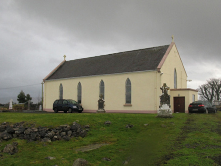 Catholic Church of Our LadyChurch/chapel · 1452 yd
Explorer Tom Catholic Church of Our Lady in Kilmurry More is telling a ridiculous smuggling story about cheese hidden inside the…
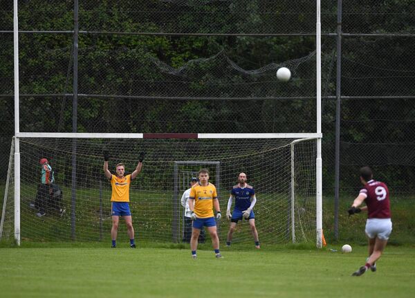 St. Tiernan's Park, Crossmolina Deel RoversGAA ground · 2.6 mi
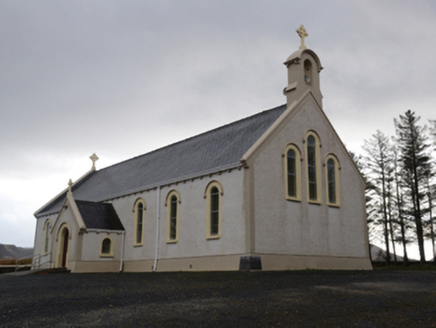 Catholic Church of the Holy SoulsChurch/chapel · 5.2 mi
Explorer Tom Catholic Church of the Holy Souls in Keenagh Beg claims it’s older than the concept of silence itself. The architects…
 Ardagh, Ardagh GAAGAA ground · 5.2 mi
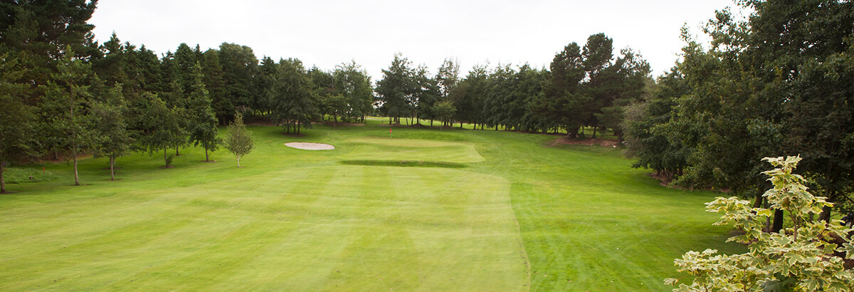 Ballina Golf ClubGolf course · 9.3 mi
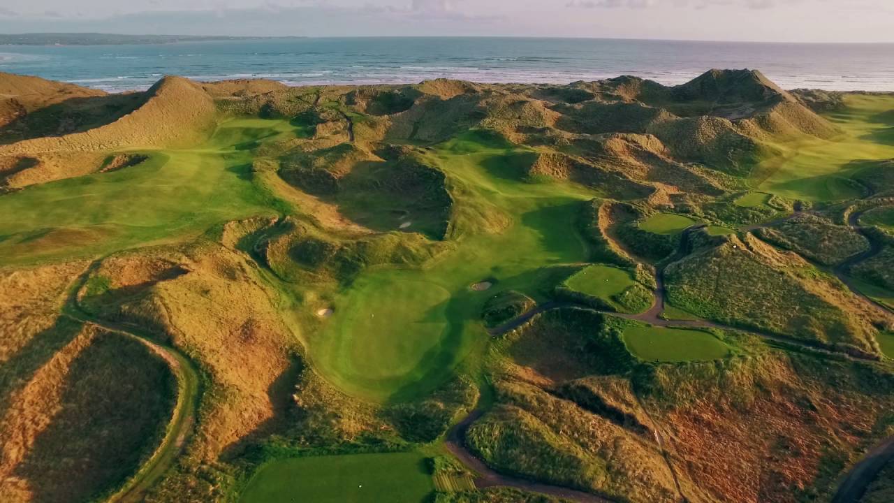 Enniscrone Golf ClubGolf course · 13 mi
 Enniscrone/Kilglass GAA pitchGAA ground · 16 mi
 farm house18 mi
Explorer Tom Farm house in Ballynacarriga [burr. by.] hates modern buildings because they don’t have proper thatch. Its stone walls…
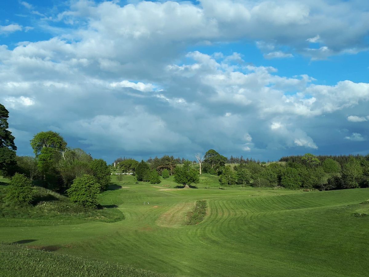 Swinford Golf ClubGolf course · 19 mi
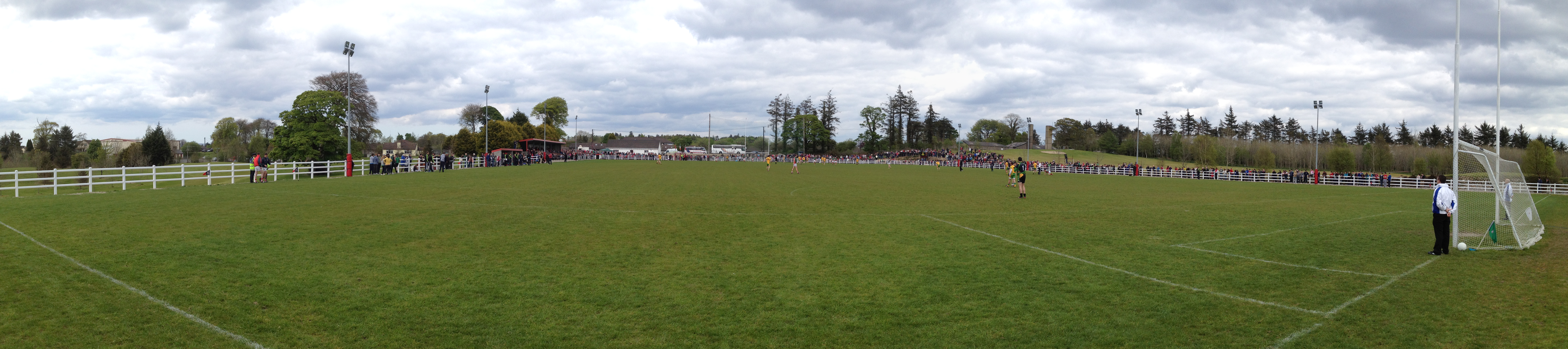 Robert McCallion Memorial Park, Swinford GAAGAA ground · 19 miNaomh Padraig Cathair Na Mairt, Westport, Westport GAAGAA ground · 20 mi
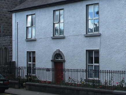 presbytery/parochial/curate's house21 mi
Explorer Tom Presbytery in Cahernamart made a New Year's resolution to stop leaking water into the basement, but it failed miserably…
More archaeology and monuments in County Mayo · All of County Mayo

What do you know about this place?Tap to add a comment or ask a question