What is recorded here
In poorly drained rushy covered mountain pasture, in small river valley, on the SE facing slope of Leahan Mountain with views of the sea to the S and Slieve League to the W. This is a stone structure located in the centre of a clustered settlement of four hut sites (DG089-026004/008-). A cluster of 3 hut sites (DG089-026001/003-) are located 100m to the W. The remains of a stone structure defined by a row of low orthostats defining a semi-circular shaped area which appears to be associated with the clustered settlement. The heather covered remains are difficult to interpret and may be the remains of a well or kiln belonging to the settlement. Located in an area of a dense concentration of hut sites which appear to make up a clustered settlement (DG089-026001/021).
The monument record does not grant public access. Check the route and ask the landowner before entering private land.
- What survives
- Recorded monument
Places near here
 Slieve LeagueMountain / peak · 1.4 mi
 An Trá BhánBeach / strand · 1.5 mi
 Silver Strand ViewpointViewpoint · 1.6 mi
 The DoonPromontory fort, coastal · 1.6 mi
 Droichead Crimlinbridge · 1.8 mi
 Slieve League SE TopMountain / peak · 1.9 mi
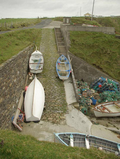 quay/wharfquay/wharf · 1.9 mi
 Malin Beg / Trabane Bay Coastal Promontory FortPromontory fort, coastal · 1.9 mi
 International Appalachian Trail Ulster-IrelandWalking route · 2.3 mi
 Glencolmcille Folk VillageMuseum · 3.4 mi
 An Trá Bheag (Trá Bheag an Ghleanna)Beach / strand · 3.5 mi
 Rathlin O'Birne IslandIslet · 3.5 mi