What is recorded here
Situated on the E-facing slope of a slight N-S ridge. A section of wall (L 3.6m; H c. 4m) with a buried arch on the S face, c. 40m S of the Hospitallers' church (WA017-018001-), and slight scarps extending N-S from this wall to the church and c. 40m to the W may be the boundary of the now grass-covered church precinct, although J. O'Donovan c. 1840 (O'Flanagan 1929, 12) describes it as a building.
Compiled by: Michael Moore
Date of upload: 05 January 2011
The monument record does not grant public access. Check the route and ask the landowner before entering private land.
- What survives
- Recorded monument
Places near here
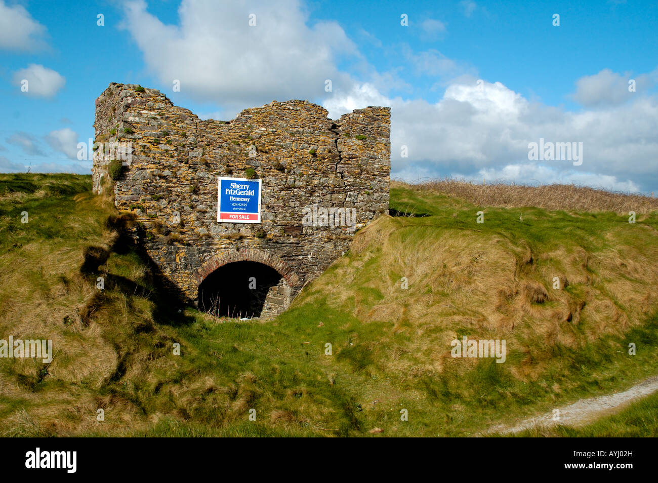 Kiln in CarrigavoeKiln · 722 yd
 Fulacht fia in KillureFulacht fia · 907 yd
 Hut site in Kill St. LawrenceHut site · 1059 yd
 Kill St. Lawrence Church (in ruins)Church · 1167 yd
 Ballinakill WoodsWood · 2.0 mi
 Sugar Loaf RockMountain / peak · 3.4 mi
 Cullen Castle (in ruins)Castle, tower house · 4.1 mi
 Tramore Dunes WalkWalking route · 4.7 mi
 Tramore Tourist OfficeVisitor information · 4.8 mi
 The Baldy ManViewpoint · 4.8 mi
 Memory of the crew of "Rescue 111"Memorial · 5.0 mi