What is recorded here
Within an oval-shaped enclosure (DG064-018001-) believed to be an early ecclesiastical site. The site is bounded by a wall and stream on the eastern half and elsewhere by a grassed-over drystone wall. There are a number of low internal dividing walls and in the SW sector the foundations of two subcircular structures (DG064-018002-; DG064-018003-). The southern structure (DG064-018002-)has a possible entrance to the SSE and the northern structure (DG064-018003-) a possible entrance to the NE. The site is located on undulating pasture with much rock outcrop. Martin's Lough is located closeby to the SSE.
The above description was derived from the 'Archaeological Survey of County Donegal. A description of the field antiquities of the County from the Mesolithic Period to the 17th century.' Compiled by: Brian Lacey with Eamon Cody, Claire Cotter, Judy Cuppage, Noel Dunne, Vincent Hurley, Celie O'Rahilly, Paul Walsh and Seán Ó Nualláin (Lifford: Donegal County Council, 1983). In certain instances the entries have been revised and updated.
Date of upload: 22 September 2008
The monument record does not grant public access. Check the route and ask the landowner before entering private land.
- What survives
- Recorded monument
Places near here
 Kilclooney More Early Church EnclosureEcclesiastical enclosure · 25 yd
 Kilclooney More Court TombCourt tomb · 398 yd
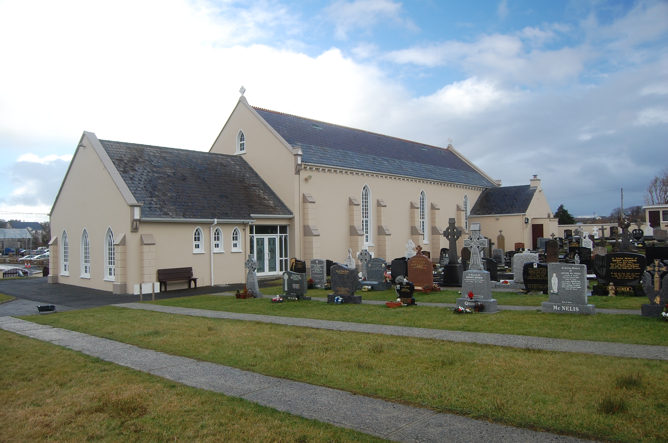 Saint Conal's Catholic Churchchurch/chapel · 563 yd
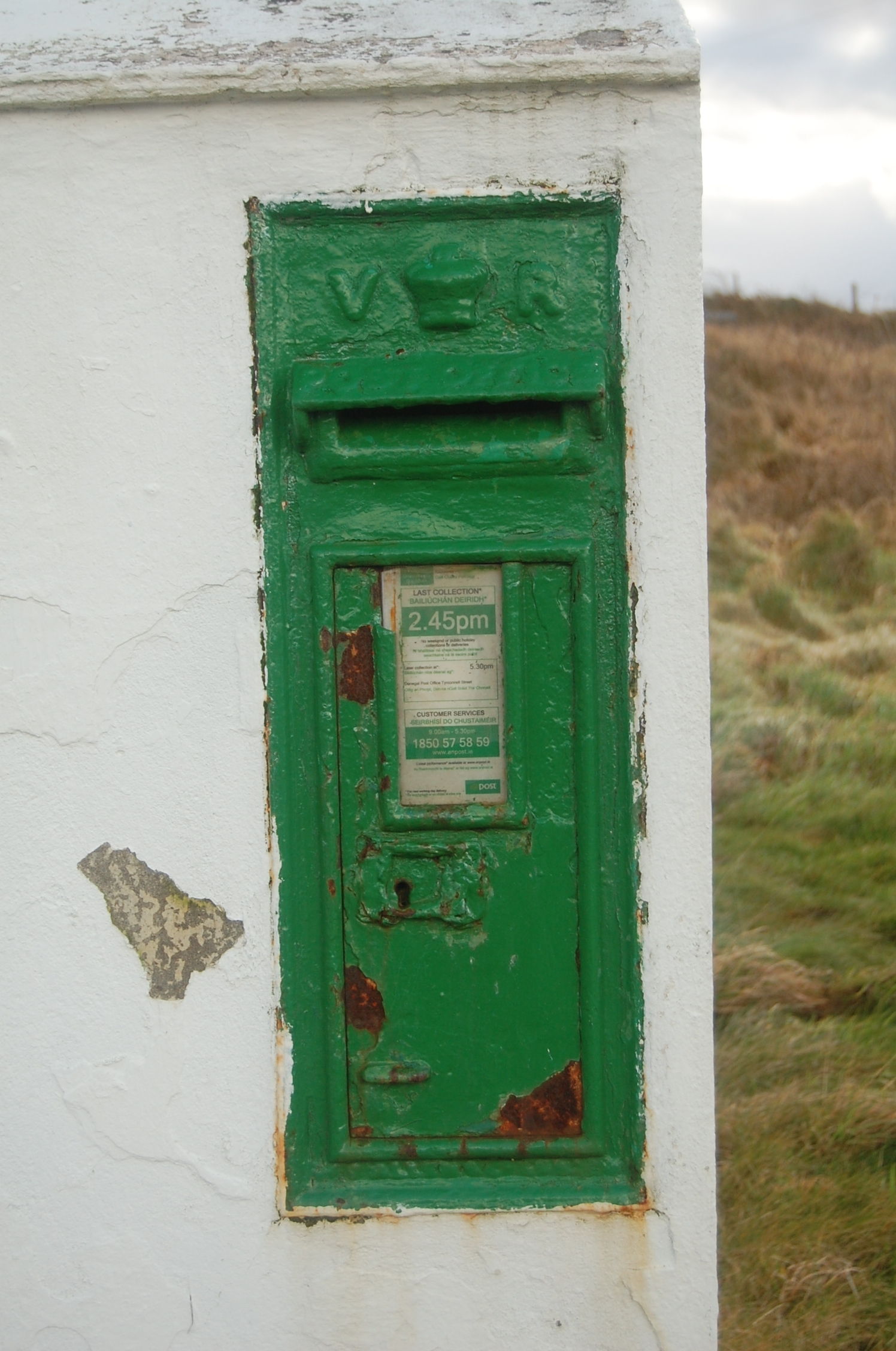 post boxpost box · 603 yd
 Doon FortFairy fort / stone ringfort · 1741 yd
 Narin–Portnoo StrandOfficial bathing water · 1.4 mi
 Bonny Glen WoodForest recreation place · 1.8 mi
 Bonny Glen Wood - Bonny Glen walkOfficial walking route · 1.8 mi
 InishkeelIslet · 1.9 mi
 CastleRuins · 2.1 mi
 Bawn in KiltoorisBawn · 2.1 mi
 Carrickalahagh HeadlandPublicly named cliff or headland · 2.3 mi