What is recorded here
In open moorland on the NW side of Inishmurray. Earthfast medium/large stones (up to 0.8 m) form the outlines of two small enclosures (see also SL001-020002-) roughly 12 m apart on gently sloping moorland north of the Cashel (the two are intervisible). One is 3 m north/south by 2 m and the other is 5 m NW/SE by 2 m. Possibly kerb remnants within denuded prehistoric barrow mounds or kerbs outlining later ‘dug’ graves. Alternatively, they may be footings for turf-built or wooden buildings.
The above description is derived from the survey of the archaeological remains undertaken in 1997-99 and published in:
J. O’Sullivan and T. Ó Carragáin 2008 Inishmurrary. Monks and pilgrims in an Atlantic landscape. Volume 1: Archaeological Survey and Excavations 1997-2000. Cork. The Collins Press.
The monument record does not grant public access. Check the route and ask the landowner before entering private land.
- What survives
- Recorded monument
Places near here
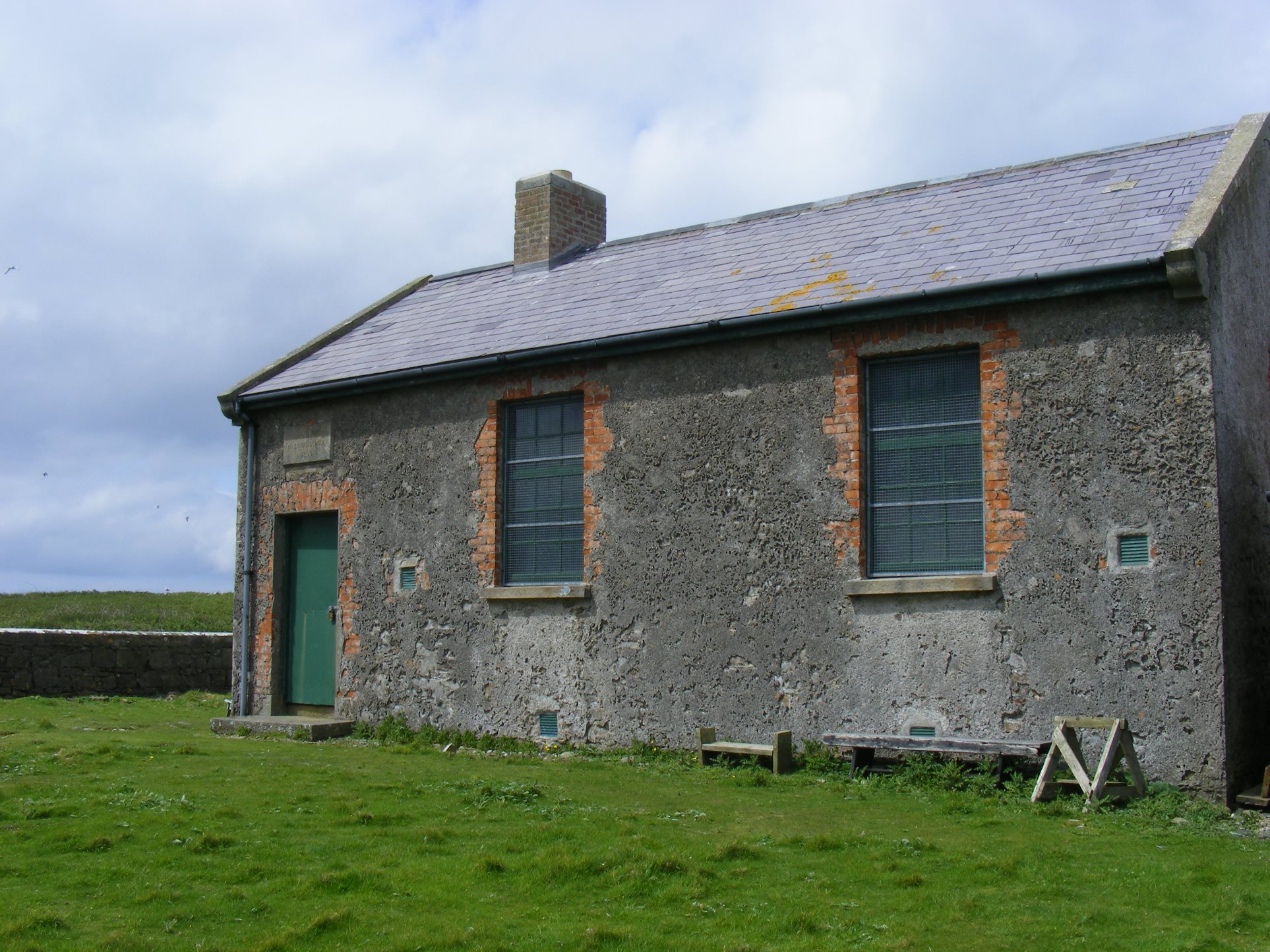 CrossmoreEnclosure · 134 yd
 LaghtnasaggartLeacht · 181 yd
 InishmurrayIsland · 596 yd
 St Molaises ChapelChurch · 732 yd
 Teampull Molaise, TeampullnabarChurch · 754 yd
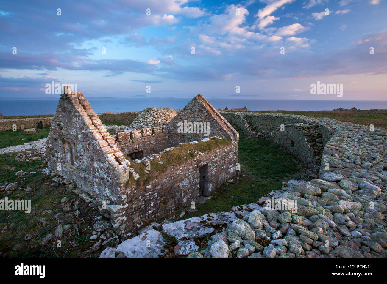 Inishmurray Island Monastic SiteHeritage attraction · 777 yd
 Streedagh BeachVisitor information · 4.7 mi
 de Cuellar Armada MonumentMemorial · 4.8 mi
 Connors IslandIsland · 5.8 mi
 Knocklane CastleRuins · 5.9 mi
 Bawn in DoonforeBawn · 6.1 mi
 Forester's WoodForest · 6.4 mi