
What is recorded here
In a low-lying position in a peaty wet flush by the north shore at the NW end of Inishmurray. This leacht is not indicated on the 1837 OS 6-inch map, but is named ‘Laghtnasaggart’ (Leacht na Sagart or ‘The Priests’ Leacht’) on the 1912 edition.
Scarcely anything remains of this obscure site which is almost entirely destroyed by storm damage/marine erosion. Within low moorland grasses, two small orthostatic flags stand 3 m apart and are, respectively, 3 m and 7 m from the shore. Small angular rubble is scattered widely. Some of this is storm rubble; but some of the smaller stones are washing out of meandering rivulets from the peaty flush. The monument was in no better shape when seen by Wakeman (1893, 137), who recorded ‘a little inland from the brink of the cliff, a very slight grassy elevation, through which a few bleached stones appear, is styled by the natives Leacht-na-Sagart.’ Evidently the monument has been denuded for well over a hundred years. A short segment of low drystone walling to the west, immediately on the cliff edge, is probably a kelp-drying wall.
The above description is derived from the results of a survey of the archaeological monuments on Inishmurray undertaken in 1997-1999 and published in:
Jerry O’Sullivan and Tomás Ó Carragáin 2008 Inishmurrary. Monks and pilgrims in an Atlantic landscape. Volume 1: Archaeological Survey and Excavations 1997-2000. Cork. The Collins Press.
Linked to a priest or priests, as suggested by its name Leacht na Sagart ("The Priests' Seat"), Laghtnasaggart may have been a site of early Christian worship or ritual. Such sites often became associated with local saints or healing traditions over time.
The monument record does not grant public access. Check the route and ask the landowner before entering private land.
- What survives
- Recorded monument
Places near here
 CrossmoreEnclosure · 312 yd
 IndicatedEnclosure · 387 yd
 InishmurrayIsland · 722 yd
 St Molaises ChapelChurch · 854 yd
 Teampull Molaise, TeampullnabarChurch · 875 yd
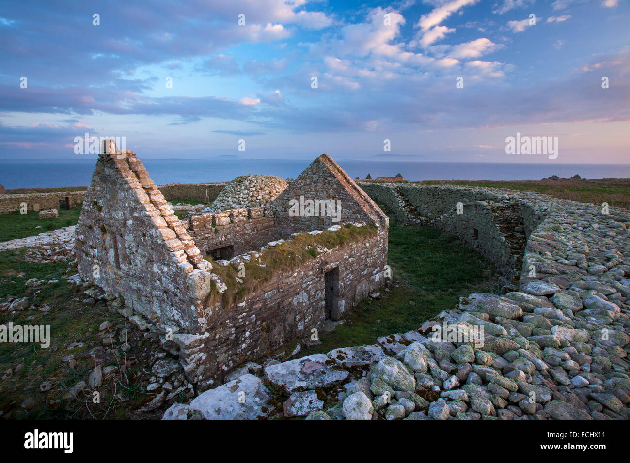 Inishmurray Island Monastic SiteHeritage attraction · 889 yd
 Streedagh BeachVisitor information · 4.8 mi
 de Cuellar Armada MonumentMemorial · 4.9 mi
 Knocklane CastleRuins · 5.9 mi
 Connors IslandIsland · 5.9 mi
 Bawn in DoonforeBawn · 6.1 mi
 Forester's WoodForest · 6.5 mi
Other information
Photo: Credit not shown in the picture search · Rights wording not checked; contact us if this picture should be removed