What is recorded here
Located close to the centre of the interior a cashel (GA113-096----). Described by McCaffrey (1952, 269, no. 9) as 'a flag-lined depression of some 9' x 4' [2.75m by 1.2m]'. What survives is
a slightly curved structure (L 2.2m; Wth 0.8m; H 0.2m), running roughly NNW-SSE, which is defined by three boulders set on edge on the W side and four on the E side. The S end is closed off by a single grassed-over boulder. Possibly the remains of hut site.
Compiled by: Galway Archaeological Survey, UCG
Date of upload: 28 November 2017
The monument record does not grant public access. Check the route and ask the landowner before entering private land.
- What survives
- Recorded monument
Places near here
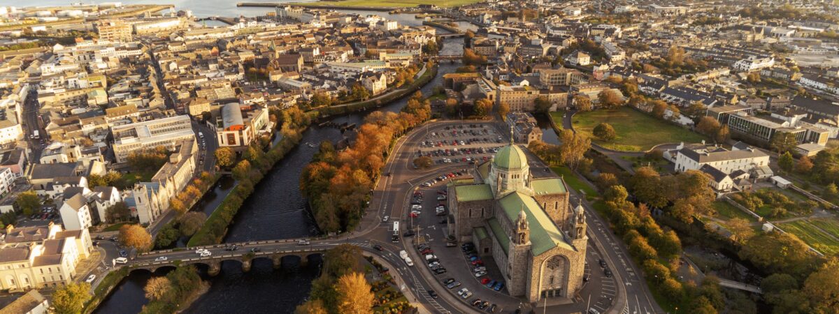 IndicatedEnclosure · 1343 yd
 Enclosure in Drumharsna NorthEnclosure · 1350 yd
 Drumharsna CastleHeritage attraction · 1.5 mi
 Drumharsna Castle (in ruins)Castle, tower house · 1.5 mi
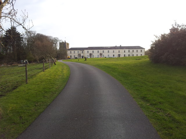 Cloghballymore Ho.House, 18th/19th century · 1.8 mi
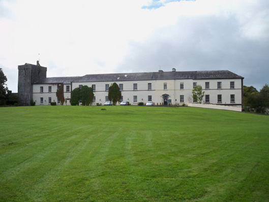 Cloghballymore Housecountry house · 1.8 mi
 Castle (in ruins)Castle, Anglo-Norman masonry castle · 2.3 mi
 Drumacoo Monastic SiteHeritage attraction · 3.0 mi
 Mulroney's IslandIslet · 3.6 mi
 Cusheen IslandIslet · 3.8 mi
 HawthornHawthorn · 4.1 mi
 European ashEuropean ash · 4.1 mi