What is recorded here
In pasture, located close to the southern slope of a low rise.
This possible monument was identified in 2020 during a geophysical survey (A079; R000531) carried out as part of archaeological investigations on the N16 Lugatober (Drumkilsellagh to Lugnagall) Road Project, Co. Sligo (Dowling 2021). It lies outside the road corridor and remains in situ but is not visible at ground level. Geophysical imagery reveals a roughly U-shaped setting (8m by 5m) of ‘pit-type’ responses, open to the north. (Nicholls 2020).
Attached images extracted from geophysical report (Dowling 2021):
SL009-073----_01.JPG Greyscale image of the gradiometry results: structure marked with red arrow (from Nicholls 2020)
SL009-073----_02.JPG Interpretative plan of gradiometry results: structure marked as ‘11’/red arrow (from Nicholls 2020)
Compiled by: Jane O'Shaughnessy
Date of upload: 2 December 2021
The monument record does not grant public access. Check the route and ask the landowner before entering private land.
- What survives
- Recorded monument
Places near here
 Enclosure in Doonally (carbury By., Drumcliff East Ed)Enclosure · 1043 yd
 Enclosure in Castlegal (carbury By., Glencar Ed)Enclosure · 1132 yd
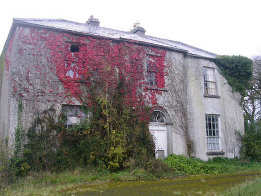 Doonally Househouse · 1506 yd
 Copes MountainMountain / peak · 1.7 mi
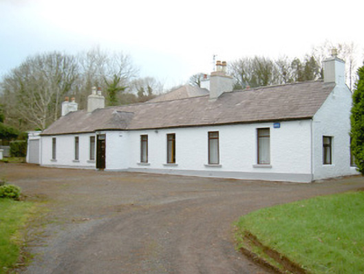 Fort Louishouse · 2.1 mi
 European BeechEuropean Beech · 2.4 mi
 Kings MountainMountain / peak · 2.5 mi
 Glencar Lough ViewpointViewpoint · 2.9 mi
 Glencar IslandIslet · 3.2 mi
 Castle (in Ruins)Castle, unclassified · 3.2 mi
 Glencar WaterfallVisitor information · 3.2 mi
 St. John's CathedralMemorial · 3.3 mi