What is recorded here
Located in pasture broken by limestone karst. An rectangular stone structure (2.7m N–S; c. 1.5m E–W; H 0.7m) bounded on the W side by a sheet of bedrock, on the N by a stone (L 1.4m; T 0.35m; H 0.4m) set on edge, and on the S by two stones, which support a lintel. The E side is largely concealed by heaps of loose stone but no set stones are evident. The structure appears to be built on the ground rather than set in it. It is poorly defined and largely obscured by rubble. An inspection in 1994 concluded that it is not the remains of a megalithic tomb (pers. comm. E. Cody). The date and function of this feature are unknown and the evidence is not sufficient to warrant considering it to be of any great antiquity.
Compiled by: Jane O'Shaughnessy
Date of upload: 14 July 2015
The monument record does not grant public access. Check the route and ask the landowner before entering private land.
- What survives
- Recorded monument
Places near here
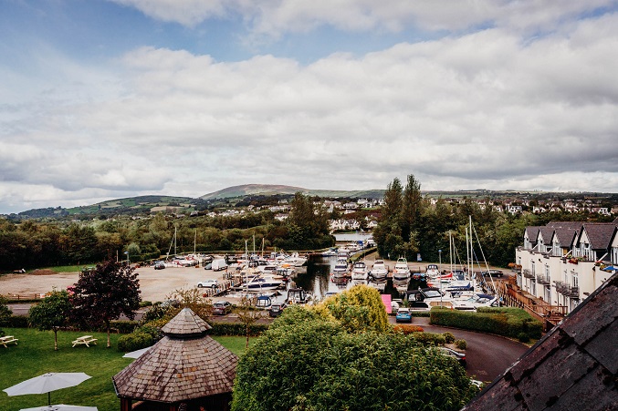 IndicatedEnclosure · 938 yd
 Loughmask Housegate lodge · 1015 yd
 Enclosure in KnocknamucklaghEnclosure · 1264 yd
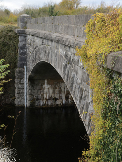 Carrownagower Bridgebridge · 1.1 mi
 Loughmask CastleCastle · 1.1 mi
 Loughmask Castle in ruinsCastle, tower house · 1.1 mi
 LabbadermotCave · 1.6 mi
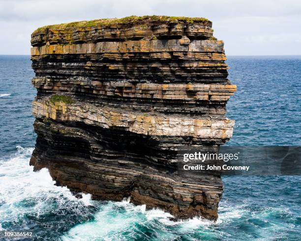 Long RockIslet · 1.6 mi
 Long IslandIslet · 2.0 mi
 European ashEuropean ash · 3.0 mi
 Quiet Man MuseumMuseum · 3.0 mi
 Cong AbbeyHeritage attraction · 3.0 mi