What is recorded here
Situated at the foot of a high W-facing cliff near Lackwee. An old field wall, part of an extensive field system (MA084-001001-) terminates at the foot of the cliff 11m to NE. A spring rises 3m to N from which a small stream issues. It consists of a spread of loose stones filling and defining a roughly rectangular hollow (NE–SW 4.5m, NW–SE 4m overall). Traces of an inward-facing revetment are visible close to the edge of the spread along the north-western and north-eastern sides. A number of upright stones along the south-western side may also have formed part of this revetment. From these features, the interior probably measured c. 3m on NE–SW axis and 2.6m on NW–SE axis. No clear trace of an entrance is visible. These remains are difficult to classify on surface features alone. They could represent the remains of a hut, the chamber of a spring well, or even a kiln.
The above description is derived from: New Survey of Clare Island. Volume 5: Archaeology. Edited by Paul Gosling, Conleth Manning and John Waddell. (Royal Irish Academy, Dublin. 2007). In certain instances the entries have been revised and updated.
Date of upload: 4 December 2018
The monument record does not grant public access. Check the route and ask the landowner before entering private land.
- What survives
- Recorded monument
Places near here
 Enclosure in BunnamohaunEnclosure · 65 yd
 farm housefarm house · 1050 yd
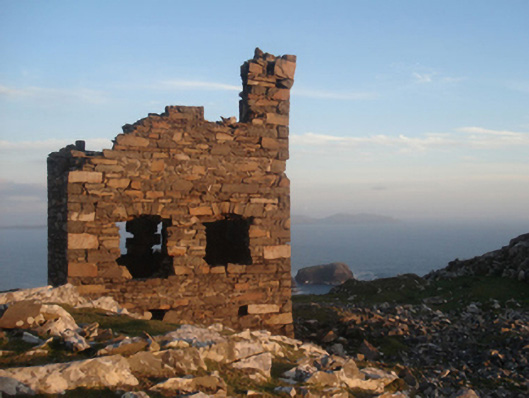 Shivel Head Signal Towersignal tower · 1139 yd
 Clare Island Signal TowerRuins · 1141 yd
 KnockmoreMountain / peak · 1.5 mi
 Clare IslandIsland · 2.1 mi
 ScalpatruceMountain / peak · 2.2 mi
 Granuaile's CastleCastle · 3.8 mi
 Caher IslandIsland · 5.1 mi
 Turloughbeg StrandBeach / strand · 6.0 mi
 Carrownisky BeachBeach / strand · 6.5 mi
 Kildavnet CastleCastle, tower house · 7.3 mi