
What is recorded here
Situated on the commonage to ENE of ‘Lackwee’ at the extreme south-western end of the island. The enclosure lies in a narrow sheltered hollow close to the sea cliffs. The hollow’s axis runs NW–SE and its sides are formed by natural rock outcrops: that on the north-eastern side is an almost sheer sloping sheet of rock. A grassy saddle closes the north-western end of the hollow, but its south-eastern end opens out into a small flat, artificially terrraced, grassy area that terminates to S, right on the edge of a deep sea cove.
The enclosure occupies most of the bottom of south-western end of the hollow. It comprises a small subcircular area (E–W 11.7m, N–S 10.1m) delimited by a broad grassy bank. The latter, although much degraded, is best pre- served at SSE, where it is 4.3m wide and up to 0.5m high. Apart from patches of loose stone on the summit and outer slopes of the bank at S and at its external base at E, few stones protrude from its grassy surface. No trace of an entrance is visible, although a slight dip in the bank’s height at S may mark its site. Two small well-set stones, 0.9m apart, which protrude from the centre of the bank at this point, may be part of an entrance. The interior has a notably dished profile. Most of its eastern half is occupied by a low, roughly oblong mass of loose stone with a flat but uneven surface (NW–SE 6.8m, NE–SW 4.6m, H 0.4m). Although a number of flat slabs are visible within this mass of stone in the south-eastern sector, none of these are well set. In the north-western sector, however, is a hut hollow (MA084-001008-) set into the enclosing bank. There is also a second hut (MA084-001009-), similarly placed, in the south-western sector.
The above description is derived from: New Survey of Clare Island. Volume 5: Archaeology. Edited by Paul Gosling, Conleth Manning and John Waddell. (Royal Irish Academy, Dublin. 2007). In certain instances the entries have been revised and updated.
Date of upload: 29 November 2018
The monument record does not grant public access. Check the route and ask the landowner before entering private land.
- What survives
- Recorded monument
Places near here
 farm housefarm house · 1047 yd
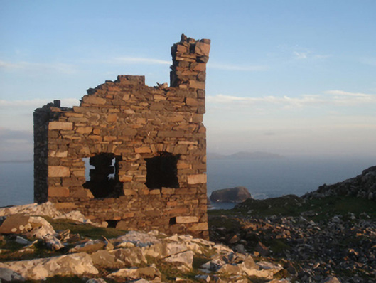 Shivel Head Signal Towersignal tower · 1204 yd
 Clare Island Signal TowerRuins · 1205 yd
 DoonPromontory fort, coastal · 1540 yd
 KnockmoreMountain / peak · 1.5 mi
 Clare IslandIsland · 2.1 mi
 ScalpatruceMountain / peak · 2.2 mi
 Granuaile's CastleCastle · 3.7 mi
 Caher IslandIsland · 5.1 mi
 Turloughbeg StrandBeach / strand · 6.0 mi
 Carrownisky BeachBeach / strand · 6.5 mi
 Kildavnet CastleCastle, tower house · 7.3 mi
Other information
Photo: Credit not shown in the picture search · Rights wording not checked; contact us if this picture should be removed